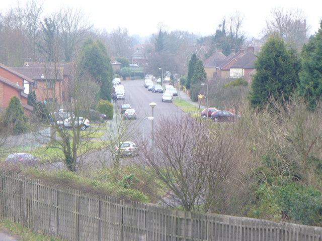
Staines Lane Recreation Ground
Getting here
51.39710, -0.50599
Visiting this summer
Seasonal nature notes and what to look for now
Visiting this summer
Seasonal nature notes and what to look for now
- 🌞Midsummer — early morning visits most comfortable; look for deer fawns in quieter clearings
- ⚽Playing fields is at its best in summer here
- 🛝Playground on site — built-in entertainment for younger visitors alongside the wider site
🌤️ Visiting this summer
- 🌞Midsummer — early morning visits most comfortable; look for deer fawns in quieter clearings
- ⚽Playing fields is at its best in summer here
- 🛝Playground on site — built-in entertainment for younger visitors alongside the wider site
Good to know
- 🐕Dogs welcome
Best for
Wildlife
Very strong match
Multi-group wildlife — Amphibians, Birds, Mammals; Multi-group wildlife — Amphibians, Birds, Mammals
Bird watching
Very strong match
Birds — Robin, Woodpigeon, Coot +71 more · last seen 2025; Birds — Robin, Woodpigeon, Coot +71 more · last seen 2025
Playing fields
Very strong match
Playing field
Playgrounds
Strong match
playground, parking
Family friendly
Strong match
playground; Playing field
Insect spotting
Strong match
Insects — Stag Beetle, 7-spot Ladybird, Iris Weevil +28 more · last seen 2025; Insects — Stag Beetle, 7-spot Ladybird, Iris Weevil +28 more · last seen 2025
Trails nearby
Within roughly 5 km🚶Walking
12 signed routes nearby · 9 public paths nearby
Signed route nearbyPublic paths
Walking
Locks and Levels (SCC)Walking route
Thames Path - alternateWalking route
avoids sole ferry crossing just before Shepperton
Memorial Route, RunnymedeWalking route3.7 km
This route takes you to all the memorials and artworks at Runnymede, and through the woods to the Commonwealth Airforce Memorial with its lovely views. This route includes some steps and slopes that can be slippery/muddy.
European walking route E2 west, UK, South East EnglandWalking route
Westroute: Stranraer (UK) - Birminhgham (UK) - Calais (FR) - Zoersel (BE) / Eastroute: Stranraer (UK) - Harwich (UK) - Rotterdam (NL) - Zoersel (BE) / Both Routes: Zoersel (BE) - Maastrich (NL) - Luxembourg (LUX) - Lake Geneva (CH) - Nice (FR)
Thames PathWalking route296 km
Church Walkpublic footpath · 127 m
Monks Walkpublic footpath · 29 m
Monks Walkpublic footpath · 965 m
🚴Cycling
116 signed routes nearby
Signed route nearby
Cycling
Brooklands Business Park Accessibility Project (proposed)Cycling route
Route 223Cycling route
Surrey CyclewayCycling route
Woking and Egham link
EuroVelo 2 - Capitals Route - part United Kingdom 5Cycling route
Route 4Cycling route
National Cycle Network route 4 Chertsey/Weybridge braidCycling route
🐴Horse riding
14 public paths nearby
Public paths
Horse riding
Ferry Lanebridleway · 759 m
Ferry Lanebridleway · 2 m
Ferry Lanebridleway · 12 m
Abbey Bridgebridleway · 11 m
Ferry Lanebridleway · 234 m
Wildlife to spot
Photos
Weather for this location
Loading local forecast…
Nearby places
Useful places within 5 km
Own or manage this place?
Claim this listing to keep details accurate, add photos, and highlight what makes it special — free.
Claim this pageHow was your visit?
How useful was the information on this page?
id: 9b6e3cf1-fccb-49e5-95ad-58fe0d9173e7