Stanborough Park
Getting here
51.78621, -0.22036
Visiting this summer
Seasonal nature notes and what to look for now
Visiting this summer
Seasonal nature notes and what to look for now
- 🌞Midsummer — early morning visits most comfortable; look for deer fawns in quieter clearings
- 🧺Good picnic destination in summer — open space and facilities for a relaxed day out
- ☕Café on site — makes this an easy full-day family visit without needing to pack food
🌤️ Visiting this summer
- 🌞Midsummer — early morning visits most comfortable; look for deer fawns in quieter clearings
- 🧺Good picnic destination in summer — open space and facilities for a relaxed day out
- ☕Café on site — makes this an easy full-day family visit without needing to pack food
Good to know
- £Free to visit — no entry charge
- 🐕Dogs welcome
Best for
Wildlife
Very strong match
Multi-group wildlife — Birds, Mammals, Reptiles; Multi-group wildlife — Birds, Mammals, Reptiles
Picnic day out
Strong match
café, toilets, car park; Urban park — open green space
Family friendly
Strong match
café, toilets; Urban park — family destination
Bird watching
Strong match
Birds — Carrion Crow, Jackdaw, Woodpigeon +45 more · last seen 2025; Birds — Carrion Crow, Jackdaw, Woodpigeon +45 more · last seen 2025
Dog walks
Strong match
Dogs allowed with public access
Foraging
Good match
Deciduous woodland — fungi, berries and wild garlic
Trails nearby
Within roughly 5 km🚶Walking
14 signed routes nearby · 28 public paths nearby
Signed route nearbyPublic paths
Walking
Old Railway & River LeaWalking route7.9 km
After a brief visit to the remains of Wheathampstead railway station, the walk follows the Ayot Greenway (route of the Permanent Way) to Ayot Green. The return journey follows the course of the River Lea.
Lea Valley WalkWalking route
Wheathampstead to Shaw's Corner Circular Walk, Shaw's CornerWalking route12.2 km
Mostly easy walking across established footpaths and fields. There are some steps along the route, and a steep gully at section 2. Assistance dogs only at Shaw's Corner.
Above the Lea ValleyWalking route6.5 km
From quiet woods to expansive views over the Lea valley, this walk includes Gustard Wood at the northern tip of Wheathampstead and the Grade I splendour of Mackerye End.
Hertfordshire WayWalking route267 km
Long distance path
🚴Cycling
114 signed routes nearby
Signed route nearby
Cycling
NCN12 proposed reroutingCycling route
Ayot GreenwayCycling route
Route 12Cycling route
Route 61Cycling route34 km
Route 61 travels from Maidenhead to Hatfield, Welwyn Garden City and Hertford before arriving near Hoddesdon.
NCN National Route 57Cycling route
Main RouteCycling route52 m
🐴Horse riding
3 public paths nearby
Public paths
Horse riding
No named routes yet. Public paths are shown on the map.
Wildlife to spot
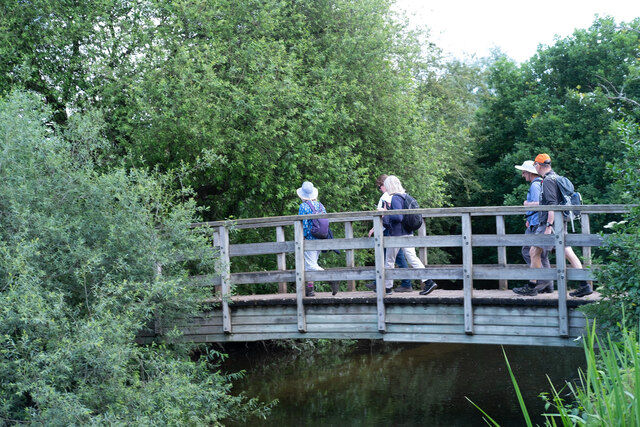
Photos
Weather for this location
Loading local forecast…
Nearby places
Useful places within 5 km
Own or manage this place?
Claim this listing to keep details accurate, add photos, and highlight what makes it special — free.
Claim this pageHow was your visit?
How useful was the information on this page?
id: 1e9820e3-cee7-4890-b046-af0407907ccd