Plan your visit
Getting here
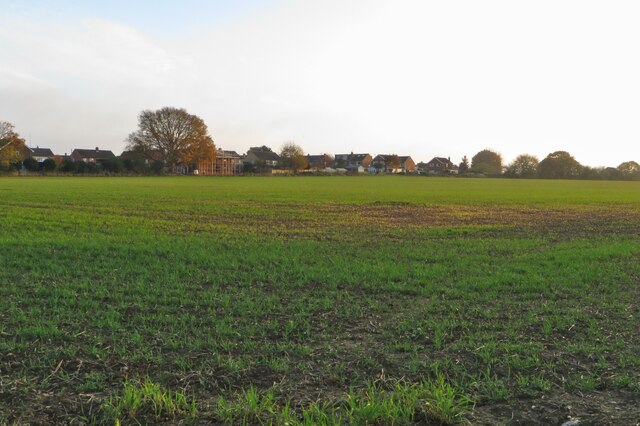
51.95793, -0.29764
Visiting this summer
Seasonal nature notes and what to look for now
Visiting this summer
Seasonal nature notes and what to look for now
- 🐦76+ species recorded in this area — summer evenings are best for activity; watch for Woodpigeon and Black-headed Gull
- ☀️Summer family visits work well here — arrive early and plan for a longer stay
- 🛝Playground on site — built-in entertainment for younger visitors alongside the wider site
🌤️ Visiting this summer
- 🐦76+ species recorded in this area — summer evenings are best for activity; watch for Woodpigeon and Black-headed Gull
- ☀️Summer family visits work well here — arrive early and plan for a longer stay
- 🛝Playground on site — built-in entertainment for younger visitors alongside the wider site
Good to know
- £Free to visit — no entry charge
- 🐕Dogs welcome
Best for
Bird watching
Very strong match
Birds — Woodpigeon, Black-headed Gull, Carrion Crow +73 more · last seen 2026
Wildlife
Strong match
Birds — Woodpigeon, Black-headed Gull, Carrion Crow +73 more · last seen 2026
Insect spotting
Strong match
Insects — 7-spot Ladybird, Parent Bug, Harlequin Ladybird +21 more · last seen 2026
Playgrounds
Strong match
playground, parking
Family friendly
Strong match
playground; Urban park — family destination
Seasonal nature
Strong match
Plants — Cow Parsley, Yarrow, Creeping Bent +60 more · last seen 2025
Trails nearby
Within roughly 5 km🚶Walking
15 signed routes nearby · 6 public paths nearby
Signed route nearbyPublic paths
Walking
The Chiltern WayWalking route275 km
A waymarked long-distance footpath in southern England
Icknield Way PathWalking route169 km
long distance footpath 169 km
Hertfordshire WayWalking route267 km
Long distance path
STOOP Link Path 7 - Stevenage Outer Orbital PathWalking route
Link from Stevenage to the STOOP path (at approx 10 o'clock on clockface)
The Chiltern Way Northern ExtensionWalking route
Long distance path
Westmill Lanepublic footpath · 134 m
Westmill Lanepublic footpath · 4 m
Westmill Lanepublic footpath · 4 m
🚴Cycling
24 signed routes nearby
Signed route nearby
Cycling
Route 12Cycling route
Chilterns Cycleway (road alternative)Cycling route
Recreational Cycle Route 16Cycling route
Local circular? cycle route
Chilterns CyclewayCycling route
Route 12Cycling route
Main RouteCycling route250 m
🚵Mountain biking
1 signed route nearby
Signed route nearby
Mountain biking
Icknield Way Cycle TrailMountain bike route226 km
This is the off-road or mountain cycling route of the Icknield Way Trail.
🐴Horse riding
12 public paths nearby
Public paths
Horse riding
Oughtonhead lanerestricted byway · 353 m
Oughtonhead Lanerestricted byway · 1 km
Icknield Waybridleway · 499 m
Westmill Lanerestricted byway · 45 m
Oughtonhead Lanerestricted byway · 97 m
Wildlife to spot
Photos
Weather for this location
Loading local forecast…
Nearby places
Useful places within 5 km