Birds — Chiffchaff, Robin, Wren +66 more · last seen 2026; Birds — Chiffchaff, Robin, Wren +66 more · last seen 2026
Free
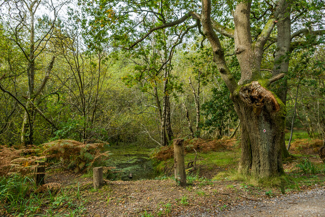
🍂
Seasonal nature
Strong match
Plants — Bramble, Common Nettle, Holly +36 more · last seen 2025; Plants — Bramble, Common Nettle, Holly +36 more · last seen 2025
Free
🐶
Dog walks
Strong match
Dogs allowed — public woodland
Free
🦋
Insect spotting
Strong match
Insects — Leuctra fusca, Nemurella pictetii, Leuctra nigra +26 more · last seen 2025; Insects — Leuctra fusca, Nemurella pictetii, Leuctra nigra +26 more · last seen 2025
Free
🌿
Foraging
Good match
Deciduous woodland — fungi, berries and wild garlic; Plants — Bramble, Common Nettle, Wood-sorrel +4 more foraging species
Varies
Trails nearby
Within roughly 5 km
🚶
Walking
▾
24 signed routes nearby · 11 public paths nearby
Signed route nearbyPublic paths
Mole Gap TrailWalking route▾
Named routeLocal walking route
Beare Green walk (SCC)Walking route▾
Named routeLocal walking route
Capel walk (SCC)Walking route▾
Named routeLocal walking route
Leith Hill GreenwayWalking route▾
Named routeLocal walking route
Abinger Roughs Nature Walk, North Downs WestWalking route3.2 km▾
Abinger Roughs has a long history – from the Stone Age to Charles Darwin, the famous naturalist, who walked on the Roughs in the 1870s. Follow in Darwin's footsteps and discover more about the history and wildlife here.
Named routeLength 3.2 kmDuration 01:30Round tripLocal walking route
🚴
Cycling
▾
48 signed routes nearby
Signed route nearby
A24 Cycle RouteCycling route▾
Named routeLocal cycle route
Im Still StandingCycling route▾
Named route
RegurgitatorCycling route▾
Named route
Holmwood Common_Circular TrailCycling route▾
Named routeLocal cycle route
Surrey CyclewayCycling route▾
Leigh Hill link
Named routeRegional cycle route
Surrey CyclewayCycling route▾
Leigh Hill link
Named routeRegional cycle route
🚵
Mountain biking
▾
28 signed routes nearby
Signed route nearby
Jackie BrownMountain bike route▾
Named routeFriends of hurtwood
Van Gogh's Missing EarMountain bike route▾
Named routeFriends of hurtwood
Mr PinkMountain bike route▾
Named routeFriends of hurtwood
CrackpipeMountain bike route▾
Named routeFriends of hurtwood
Tumnus Strikes BackMountain bike route▾
Named routeFriends of hurtwood
The GardenMountain bike route▾
Named route
🐴
Horse riding
▾
10 public paths nearby
Public paths
Wolvens Lanebyway open to all traffic · 1.1 km▾
Public pathbyway open to all trafficLength 1.1 kmSurface dirtPath type: track
Whiteberry Roadbridleway · 370 m▾
Public pathbridlewayLength 370 mPath type: bridleway
Whiteberry Roadbridleway · 549 m▾
Public pathbridlewayLength 549 mPath type: bridleway
Wolvens Lanebyway open to all traffic · 2.1 km▾
Public pathbyway open to all trafficLength 2.1 kmSurface dirtPath type: track
Whiteberry Roadbridleway · 102 m▾
Public pathbridlewayLength 102 mPath type: bridleway