Birds — Woodpigeon, Magpie, Blackbird +44 more · last seen 2026; Birds — Woodpigeon, Magpie, Blackbird +44 more · last seen 2026
Free
🦋
Insect spotting
Strong match
Insects — Meadow Brown, Gatekeeper, Ringlet +50 more · last seen 2026; Insects — Meadow Brown, Gatekeeper, Ringlet +50 more · last seen 2026
Free
🐶
Dog walks
Strong match
Dogs allowed with public access
Free
🌿
Foraging
Good match
Deciduous woodland — fungi, berries and wild garlic
Varies
🍂
Seasonal nature
Good match
Plants — Early Dog-violet, Bracken, Hogweed +8 more · last seen 2026; Plants — Early Dog-violet, Bracken, Hogweed +8 more · last seen 2026
Free
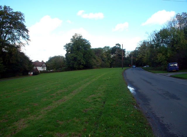
Trails nearby
Within roughly 5 km
🚶
Walking
▾
23 signed routes nearby · 9 public paths nearby
Signed route nearbyPublic paths
Greenwich Meridian TrailWalking route440 km▾
A long-distance walk that follows the line of the Prime Meridian. Inaugurated in 2009, to coincide with the 125th anniversary of the Greenwich Meridian.
Named routeRef GMTLength 440 kmRegional walking route
Cudham Circular WalkWalking route▾
A rural route passing near to Down House, Darwin's home, and Downe village to which a diversion could be made. Passing near Biggin Hill airport on a ridgeline, it reaches the London LOOP coming into High Elms Country Park, finally ascending back to Cudham
Named routeLocal walking route
Vanguard WayWalking route111 km▾
Named routeRef VGWLength 111 kmRegional walking route
Greensand way (Oxted Spur)Walking route▾
Named routeRegional walking route
Tandridge Border PathWalking route▾
Named routeLocal walking route
Parkwood Roadpublic footpath · 296 m▾
Public pathpublic footpathLength 296 mSurface gravelPath type: track
🚴
Cycling
▾
25 signed routes nearby
Signed route nearby
Route 232Cycling route▾
Named routeRef 232Local cycle route
National Cycle Route 21Cycling route▾
Named routeRef 21National Cycle Network
Waterlink WayCycling route12 km▾
Named routeRef WWLength 12 kmRegional cycle route
Tower Wood DragCycling route▾
Named route
Route 21Cycling route▾
Named routeRef 21National Cycle Network
Limpsfield Community Cycle RouteCycling route▾
Named routeLocal cycle route
🐴
Horse riding
▾
11 public paths nearby
Public paths
Cudham Roadbyway open to all traffic · 247 m▾
Public pathbyway open to all trafficLength 247 mPath type: unclassified
Crosswaysbridleway · 108 m▾
Public pathbridlewayLength 108 mPath type: residential
John's Roadbridleway · 181 m▾
Public pathbridlewayLength 181 mSurface gravelPath type: residential
Manor Roadbridleway · 43 m▾
Public pathbridlewayLength 43 mSurface gravelPath type: track
Cudham Roadbyway open to all traffic · 105 m▾
Public pathbyway open to all trafficLength 105 mPath type: unclassified