Birds — Carrion Crow, Woodpigeon, Magpie +51 more · last seen 2025; Birds — Carrion Crow, Woodpigeon, Magpie +51 more · last seen 2025
Free
🍂
Seasonal nature
Strong match
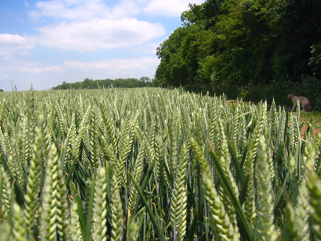
Plants — Hazel, Red Dead-nettle, Early Dog-violet +43 more · last seen 2025; Plants — Hazel, Red Dead-nettle, Early Dog-violet +43 more · last seen 2025
Free
🐶
Dog walks
Strong match
Dogs allowed — public woodland
Free
🦋
Insect spotting
Strong match
Insects — 7-spot Ladybird, Harmonia axyridis form succinea, Harlequin Ladybird +41 more · last seen 2026; Insects — 7-spot Ladybird, Harmonia axyridis form succinea, Harlequin Ladybird +41 more · last seen 2026
Free
🌿
Foraging
Good match
Deciduous woodland — fungi, berries and wild garlic; Plants — Hazel, Red Dead-nettle, White Dead-nettle +2 more foraging species
Varies
Trails nearby
Within roughly 5 km
🚶
Walking
▾
23 signed routes nearby · 5 public paths nearby
Signed route nearbyPublic paths
STOOP Link Path 2 - Stevenage Outer Orbital Path LinkWalking route▾
A link from Stevenage to the STOOP path (at approx 3 o'clock on clockface)
Named route
STOOP Link Path 3 - Stevenage Outer Orbital Path LinkWalking route▾
A link from Stevenage to the STOOP path (at approx 4 o'clock on clockface)
Named route
STOOP Link Path 1 - Stevenage Outer Orbital Path LinkWalking route▾
A link from Stevenage to the STOOP path (at approx 2 o'clock on clockface)
Named route
STOOP Link Path 8 - Stevenage Outer Orbital Path LinkWalking route▾
Link from Stevenage to the STOOP path (at approx 11 o'clock on clockface)
Named routeLocal walking route
Icknield Way PathWalking route169 km▾
long distance footpath 169 km
Named routeLength 169 kmRegional walking route
🚴
Cycling
▾
54 signed routes nearby
Signed route nearby
Route 12Cycling route▾
Named routeRef 12National Cycle Network
recreational cycle route 10Cycling route▾
Named routeLocal cycle route
Main RouteCycling route337 m▾
Named routeRef 12Length 337 mNational Cycle NetworkTraffic-freeSurface asphalt
Main RouteCycling route719 m▾
Named routeRef 12Length 719 mNational Cycle NetworkTraffic-freeSurface asphalt
Main RouteCycling route410 m▾
Named routeRef 12Length 410 mNational Cycle NetworkTraffic-freeSurface asphalt
Main RouteCycling route201 m▾
Named routeRef 12Length 201 mNational Cycle NetworkOn-roadSurface asphalt
🚵
Mountain biking
▾
1 signed route nearby
Signed route nearby
Icknield Way Cycle TrailMountain bike route226 km▾
This is the off-road or mountain cycling route of the Icknield Way Trail.
Named routeLength 226 kmRegional cycle route
🐴
Horse riding
▾
5 public paths nearby
Public paths
No named routes yet. Public paths are shown on the map.