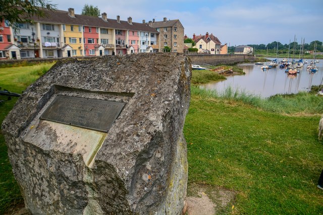
The American Monument
Plan your visit
Getting here
51.48063, -2.68451
Visiting this summer
Seasonal nature notes and what to look for now
Visiting this summer
Seasonal nature notes and what to look for now
- ☀️June — long evenings and clear skies; one of the most rewarding months for a late visit
- ☀️Summer family visits work well here — arrive early and plan for a longer stay
- ☕The Lime Tree — makes this an easy full-day family visit without needing to pack food
🌤️ Visiting this summer
- ☀️June — long evenings and clear skies; one of the most rewarding months for a late visit
- ☀️Summer family visits work well here — arrive early and plan for a longer stay
- ☕The Lime Tree — makes this an easy full-day family visit without needing to pack food
Good to know
- 🐕Dogs welcome
Best for
Bird watching
Very strong match
Mudflats — internationally important for wading birds and wildfowl; Birds — Magpie, Herring Gull, Goldfinch +55 more · last seen 2026
Family friendly
Very strong match
playground, café, picnic area
Picnic day out
Very strong match
picnic area, café, car park
Wildlife
Strong match
Birds — Magpie, Herring Gull, Goldfinch +55 more · last seen 2026; Mudflats priority habitat
Playgrounds
Strong match
playground, café, parking
Heritage
Strong match
Historic site with public access
Trails nearby
Within roughly 5 km🚶Walking
20 signed routes nearby · 42 public paths nearby
Signed route nearbyPublic paths
Walking
Monarch's WayWalking route990 km
approximate route of Charles II's escape
Severn Way (3) Worcester to BristolWalking route153 km
Samaritans Way South WestWalking route166 km
Watercatch Walk, TyntesfieldWalking route1.6 km
This circular walk is full of historical and natural interest. Watercatch walk takes you past an old single avenue of monkey puzzle trees, a summerhouse, Watercatch and old Second World War remains, before descending into a wooded combe and back along the
Bristol Triangular City WalkWalking route
Port Viewpublic footpath · 22 m
Upper Myrtle Hillpublic footpath · 62 m
North Grove-Rudleigh Road Linkpublic footpath · 76 m
🚴Cycling
172 signed routes nearby
Signed route nearby
Cycling
Route 41Cycling route
Avon CyclewayCycling route
Route 26Cycling route
Festival WayCycling route
Downs WayCycling route
National Cycle Network Route 4Cycling route
🚵Mountain biking
2 signed routes nearby
Signed route nearby
Mountain biking
Super Nova TrailMountain bike route
Nova TrailMountain bike route
Wildlife to spot
Photos
Weather for this location
Loading local forecast…
Nearby places
Useful places within 5 km