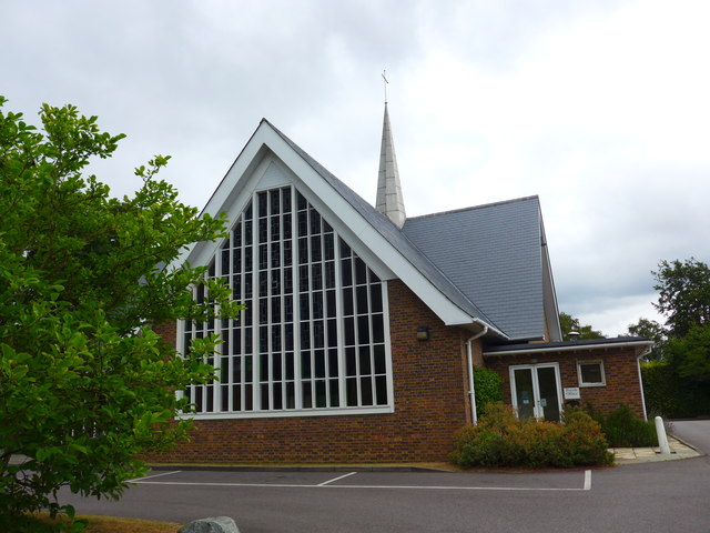
The Church of the Good Shepherd
Plan your visit
Getting here
51.32544, -0.50952
Visiting this summer
Seasonal nature notes and what to look for now
Visiting this summer
Seasonal nature notes and what to look for now
- 🌞Midsummer — early morning visits most comfortable; look for deer fawns in quieter clearings
- ☀️Summer family visits work well here — arrive early and plan for a longer stay
- ☕Copper Coffee — makes this an easy full-day family visit without needing to pack food
🌤️ Visiting this summer
- 🌞Midsummer — early morning visits most comfortable; look for deer fawns in quieter clearings
- ☀️Summer family visits work well here — arrive early and plan for a longer stay
- ☕Copper Coffee — makes this an easy full-day family visit without needing to pack food
Good to know
- £Free to visit — no entry charge
- 🐕Dogs welcome
Best for
Wildlife
Very strong match
Multi-group wildlife — Amphibians, Birds, Mammals; Multi-group wildlife — Amphibians, Birds, Mammals
Bird watching
Very strong match
Birds — Woodpigeon, Carrion Crow, Blue Tit +62 more · last seen 2025; Birds — Woodpigeon, Carrion Crow, Blue Tit +62 more · last seen 2025
Family friendly
Good match
café
Dog walks
Good match
Dogs allowed with public access
Insect spotting
Good match
Insects — Stag Beetle, Emperor Dragonfly, Sepsis violacea +14 more · last seen 2025; Insects — Stag Beetle, Emperor Dragonfly, Sepsis violacea +14 more · last seen 2025
Seasonal nature
Good match
Plants — Floating Pennywort, Fringecups · last seen 2025; Plants — Floating Pennywort, Fringecups · last seen 2025
Trails nearby
Within roughly 5 km🚶Walking
10 signed routes nearby · 6 public paths nearby
Signed route nearbyPublic paths
Walking
Locks and Levels (SCC)Walking route
The Fox WayWalking route
Canons and CornmillsWalking route
Papercourt Lock to Triggs Lock Walk, River Wey NavigationsWalking route9.6 km
Starting from Papercourt, this walk is based in Send, where the River Wey Navigations has its navigation workshops. On this flat route you'll find locks from the 1760s and ponds and meadows that are important for the local wildlife. Flat & easy walking.
European walking route E2 west, UK, South East EnglandWalking route
Westroute: Stranraer (UK) - Birminhgham (UK) - Calais (FR) - Zoersel (BE) / Eastroute: Stranraer (UK) - Harwich (UK) - Rotterdam (NL) - Zoersel (BE) / Both Routes: Zoersel (BE) - Maastrich (NL) - Luxembourg (LUX) - Lake Geneva (CH) - Nice (FR)
🚴Cycling
99 signed routes nearby
Signed route nearby
Cycling
Neptune TrailCycling route
Mars TrailCycling route
Phobos TrailCycling route
Mimas TrailCycling route
Brooklands Business Park Accessibility Project (proposed)Cycling route
A3 Cycle Route (alternative)Cycling route
🚵Mountain biking
1 signed route nearby
Signed route nearby
Mountain biking
Basingstoke Canal TowpathMountain bike route
🐴Horse riding
2 public paths nearby
Public paths
Horse riding
Sandy Lanebridleway · 123 m
Sandy Lanebridleway · 80 m
Wildlife to spot
Photos
Weather for this location
Loading local forecast…
Nearby places
Useful places within 5 km
Own or manage this place?
Claim this listing to keep details accurate, add photos, and highlight what makes it special — free.
Claim this pageHow was your visit?
How useful was the information on this page?
id: 4d2664e8-5bc8-47b0-9280-b039326947ed