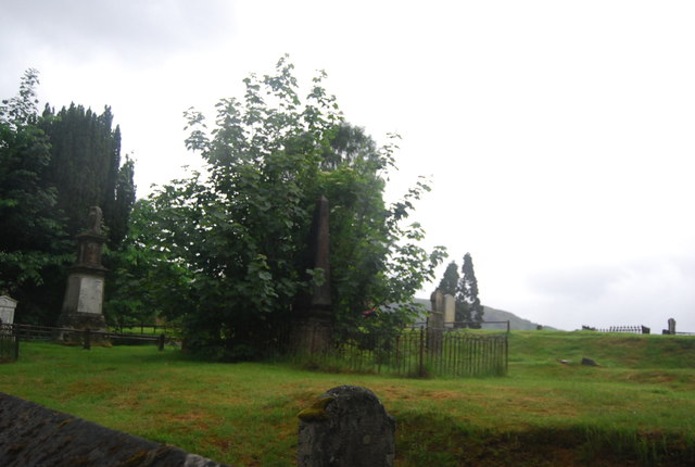
The Craigs
Plan your visit
Getting here
56.82115, -5.10117
Visiting this summer
Seasonal nature notes and what to look for now
Visiting this summer
Seasonal nature notes and what to look for now
- ☀️June — long evenings and clear skies; one of the most rewarding months for a late visit
- 🧺Good picnic destination in summer — open space and facilities for a relaxed day out
- 🛝Playground 122m away — built-in entertainment for younger visitors alongside the wider site
🌤️ Visiting this summer
- ☀️June — long evenings and clear skies; one of the most rewarding months for a late visit
- 🧺Good picnic destination in summer — open space and facilities for a relaxed day out
- 🛝Playground 122m away — built-in entertainment for younger visitors alongside the wider site
Good to know
- £Free to visit — no entry charge
- 🐕Dogs welcome
Best for
Wildlife
Very strong match
Multi-group wildlife — Birds, Mammals; Multi-group wildlife — Birds, Mammals
Picnic day out
Strong match
picnic area, car park
Bird watching
Strong match
Birds — Hooded Crow, Herring Gull, Robin +39 more · last seen 2025; Birds — Hooded Crow, Herring Gull, Robin +39 more · last seen 2025
Playgrounds
Strong match
playground, parking
Family friendly
Strong match
playground, picnic area
Cycling
Good match
Named cycling route nearby: NCN National Route 78 (north)
Trails nearby
Within roughly 5 km🚶Walking
10 signed routes nearby
Signed route nearby
Walking
North Face PathWalking route
Ben Nevis Mountain PathWalking route
West Highland Way (Kinlochleven to Fort William)Walking route24 km
Great Glen Way - Slighe a' Ghlinne MhòirWalking route120 km
A waymarked route (75 m/120 km) from Fort William (leaving behind Britain’s highest mountain, Ben Nevis) to Inverness, the Highlands capital. It follows a great geological fault and sections of Thomas Telford’s historic Caledonian Canal.
Cape Wrath Trail (Fort William → Invergarry → Morvich)Walking route
unmarked
🚴Cycling
34 signed routes nearby
Signed route nearby
Cycling
Route 78Cycling route
NCN National Route 78 (south)
Fort William to Nevis RangeCycling route
NCN National Route 78 (north)Cycling route
Main RouteCycling route78 m
Main RouteCycling route19 m
Main RouteCycling route18 m
🚵Mountain biking
4 signed routes nearby
Signed route nearby
Mountain biking
10 under the BenMountain bike route
Highland Trail 550Mountain bike route
Broomstick BlueMountain bike route
The Witch's World Champs TrailMountain bike route
Wildlife to spot
Photos
Weather for this location
Loading local forecast…
Nearby places
Useful places within 5 km
How was your visit?
How useful was the information on this page?
id: f07ec0a5-fbf9-4b13-a6f1-0eabec6b976d