The Harry Grady Community Open Space
Getting here
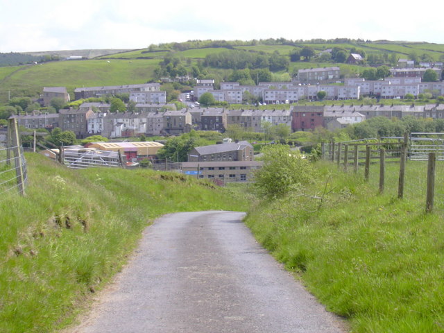
53.71030, -2.32487
Visiting this summer
Seasonal nature notes and what to look for now
Visiting this summer
Seasonal nature notes and what to look for now
- 🌞Midsummer — early morning visits most comfortable; look for deer fawns in quieter clearings
- 🌿Foraging is at its best in summer here
- 🐕Dogs welcome — bring water in summer; the site has enough space to find shade on hot days
🌤️ Visiting this summer
- 🌞Midsummer — early morning visits most comfortable; look for deer fawns in quieter clearings
- 🌿Foraging is at its best in summer here
- 🐕Dogs welcome — bring water in summer; the site has enough space to find shade on hot days
Good to know
- £Free to visit — no entry charge
- 🐕Dogs welcome
Best for
Wildlife
Very strong match
Multi-group wildlife — Amphibians, Birds, Mammals; Multi-group wildlife — Amphibians, Birds, Mammals
Bird watching
Very strong match
Birds — Carrion Crow, Canada Goose, Black-headed Gull +66 more · last seen 2025; Birds — Carrion Crow, Canada Goose, Black-headed Gull +66 more · last seen 2025
Seasonal nature
Strong match
Plants — Himalayan Balsam, Creeping Thistle, Foxglove +138 more · last seen 2025; Plants — Himalayan Balsam, Creeping Thistle, Foxglove +138 more · last seen 2025
Foraging
Strong match
Plants — Hawthorn, Common Nettle, Common Sorrel +16 more foraging species
Dog walks
Strong match
Dogs allowed with public access
Cycling
Good match
Named cycling route nearby: Route 6
Trails nearby
Within roughly 5 km🚶Walking
4 signed routes nearby · 13 public paths nearby
Signed route nearbyPublic paths
Walking
Mary Towneley LoopWalking route
Forms part of Pennine Bridleway National Trail
Irwell Sculpture TrailWalking route
Rossendale WayWalking route
A high-level route around Bacup, Rawtenstall, Haslingden and Whitworth in the Rossendale Valley, crossing the open moors and farmland of the South Pennines which roughly follows the Rossendale Borough boundary.
Burnley WayWalking route
Martin Croft Roadpublic footpath · 175 m
Cribden End Lanepublic footpath · 643 m
🚴Cycling
54 signed routes nearby
Signed route nearby
Cycling
Route 6Cycling route
Lancashire Cycleway (Southern Loop)Cycling route
Vos Stansfield Road - Cowpe RoadCycling route
Blackburn Rd/Manchester Rd ACLCycling route
Britannia GreenwayCycling route
Main RouteCycling route510 m
🐴Horse riding
3 public paths nearby
Public paths
Horse riding
Higher Lanebyway open to all traffic · 286 m
Higher Lanebyway open to all traffic · 293 m
Wildlife to spot
Photos
Weather for this location
Loading local forecast…
Nearby places
Useful places within 5 km
Own or manage this place?
Claim this listing to keep details accurate, add photos, and highlight what makes it special — free.
Claim this pageHow was your visit?
How useful was the information on this page?
id: 0abe9a9c-fbfd-4241-9204-95d15b43b6c3