Plan your visit
Getting here
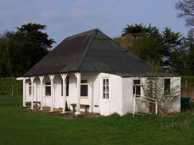
51.86371, -0.27319
Visiting this summer
Seasonal nature notes and what to look for now
Visiting this summer
Seasonal nature notes and what to look for now
- 🐦74+ species recorded in this area — summer evenings are best for activity; watch for Woodpigeon and Jackdaw
- ✦Historic character is a year-round quality here — summer brings its own atmosphere to the setting
- 🐕Dogs welcome — bring water in summer; the site has enough space to find shade on hot days
🌤️ Visiting this summer
- 🐦74+ species recorded in this area — summer evenings are best for activity; watch for Woodpigeon and Jackdaw
- ✦Historic character is a year-round quality here — summer brings its own atmosphere to the setting
- 🐕Dogs welcome — bring water in summer; the site has enough space to find shade on hot days
Good to know
- 🐕Dogs welcome
Best for
Bird watching
Very strong match
Birds — Woodpigeon, Jackdaw, Carrion Crow +71 more · last seen 2025; Grazing marsh — lapwing, redshank, snipe and wintering wildfowl
Wildlife
Strong match
Birds — Woodpigeon, Jackdaw, Carrion Crow +71 more · last seen 2025; Coastal and floodplain grazing marsh priority habitat
Heritage
Strong match
Historic site with public access
Insect spotting
Strong match
Insects — Meadow Brown, Large White, Gatekeeper +40 more · last seen 2026
Seasonal nature
Strong match
Plants — Sycamore, Common Mouse-ear, Creeping Buttercup +20 more · last seen 2025
Dog walks
Good match
Dogs allowed with public access
Trails nearby
Within roughly 5 km🚶Walking
14 signed routes nearby · 27 public paths nearby
Signed route nearbyPublic paths
Walking
The Chiltern WayWalking route275 km
A waymarked long-distance footpath in southern England
Wheathampstead to Shaw's Corner Circular Walk, Shaw's CornerWalking route12.2 km
Mostly easy walking across established footpaths and fields. There are some steps along the route, and a steep gully at section 2. Assistance dogs only at Shaw's Corner.
Lea Valley CircleWalking route4.3 km
Walk over the River Lea and gaze across its valley. One of the main rivers in Hertfordshire, it rises as a chalk stream – one of only 200 or so in the world.
Hertfordshire WayWalking route267 km
Long distance path
STOOP Link Path 6 - Stevenage Outer Orbital PathWalking route
Link from Stevenage to the STOOP path (at approx 9 o'clock on clockface)
🚴Cycling
23 signed routes nearby
Signed route nearby
Cycling
Route 12Cycling route
NCN National Route 57Cycling route
Recreational Cycle Route 16Cycling route
Local circular? cycle route
Chilterns CyclewayCycling route
Main RouteCycling route53 m
Main RouteCycling route769 m
🐴Horse riding
10 public paths nearby
Public paths
Horse riding
Norton Street Lanebyway open to all traffic · 173 m
Norton Street Lanebyway open to all traffic · 661 m
Wildlife to spot
Photos
Weather for this location
Loading local forecast…
Nearby places
Useful places within 5 km