Getting here
52.64080, -2.87599
Visiting this summer
Seasonal nature notes and what to look for now
Visiting this summer
Seasonal nature notes and what to look for now
- 🌞Midsummer — early morning visits most comfortable; look for deer fawns in quieter clearings
- 🐕Early mornings are best for dog walks in summer — visit before 9am to avoid the heat and find quieter trails
- 🅿️Parking 146m away — 2 car parks within reach
🌤️ Visiting this summer
- 🌞Midsummer — early morning visits most comfortable; look for deer fawns in quieter clearings
- 🐕Early mornings are best for dog walks in summer — visit before 9am to avoid the heat and find quieter trails
- 🅿️Parking 146m away — 2 car parks within reach
Good to know
- £Free to visit — no entry charge
- 🐕Dogs welcome
Best for
Wildlife
Very strong match
Multi-group wildlife — Amphibians, Birds, Mammals, Reptiles; Multi-group wildlife — Amphibians, Birds, Mammals, Reptiles
Bird watching
Very strong match
Birds — Great Tit, Blue Tit, Robin +57 more · last seen 2026; Birds — Great Tit, Blue Tit, Robin +57 more · last seen 2026
Insect spotting
Strong match
Insects — Azure Damselfly, 14-spot Ladybird, Harlequin Ladybird +200 more · last seen 2026; Insects — Azure Damselfly, 14-spot Ladybird, Harlequin Ladybird +200 more · last seen 2026
Dog walks
Strong match
Dogs allowed — public woodland
Seasonal nature
Strong match
Plants — Lesser Spearwort, White Stonecrop, Opposite-leaved Golden-saxifrage +15 more · last seen 2025; Plants — Lesser Spearwort, White Stonecrop, Opposite-leaved Golden-saxifrage +15 more · last seen 2025
Foraging
Good match
Deciduous woodland — fungi, berries and wild garlic
Trails nearby
Within roughly 5 km🚶Walking
2 signed routes nearby · 26 public paths nearby
Signed route nearbyPublic paths
Walking
Shropshire Way - stage 01Walking route24.1 km
Chris Bagley WalkWalking route
🚴Cycling
12 signed routes nearby
Signed route nearby
Cycling
Route 44Cycling route
National Byway Church Stretton LoopCycling route
National Byway (Herefordshire)Cycling route
National Byway in Herefordshire
Main RouteCycling route477 m
Main RouteCycling route147 m
Main RouteCycling route50 m
🐴Horse riding
12 public paths nearby
Public paths
Horse riding
No named routes yet. Public paths are shown on the map.
Wildlife to spot
Photos
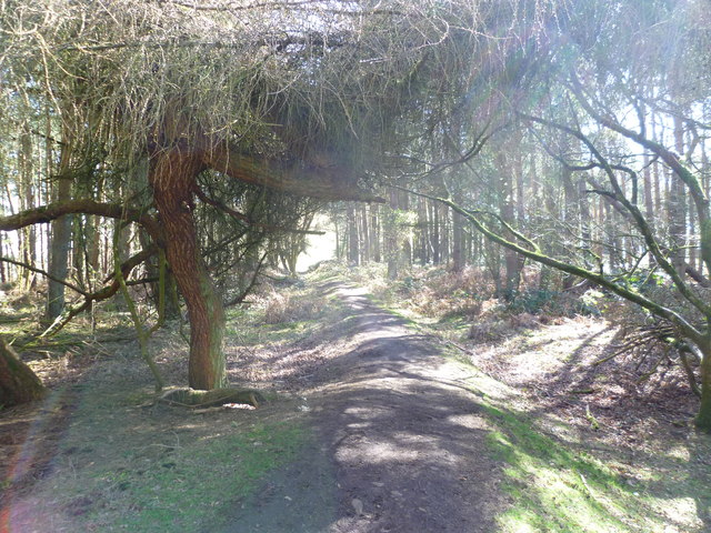
Path in woodland on Pontesford Hill looking towards Earls Hill
Weather for this location
Loading local forecast…
Nearby places
Useful places within 5 km
Own or manage this place?
Claim this listing to keep details accurate, add photos, and highlight what makes it special — free.
Claim this pageHow was your visit?
How useful was the information on this page?
id: 6dda0f92-59c1-45c1-b4f0-1b13f52c70fb