Getting here
51.43254, -1.62667
Visiting this summer
Seasonal nature notes and what to look for now
Visiting this summer
Seasonal nature notes and what to look for now
- 🌞Midsummer — early morning visits most comfortable; look for deer fawns in quieter clearings
- 🐕Early mornings are best for dog walks in summer — visit before 9am to avoid the heat and find quieter trails
- 📍Open access throughout summer — no booking required
🌤️ Visiting this summer
- 🌞Midsummer — early morning visits most comfortable; look for deer fawns in quieter clearings
- 🐕Early mornings are best for dog walks in summer — visit before 9am to avoid the heat and find quieter trails
- 📍Open access throughout summer — no booking required
Good to know
- £Free to visit — no entry charge
- 🐕Dogs welcome
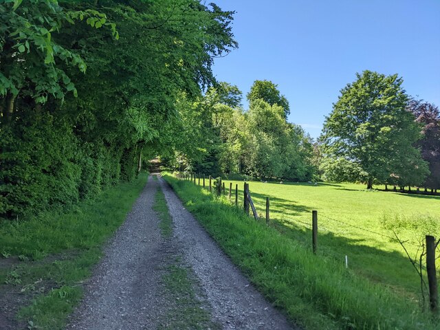
- 🌿Ancient woodland — rare wildlife habitat
Best for
Wildlife
Very strong match
Multi-group wildlife — Birds, Mammals, Reptiles; Multi-group wildlife — Birds, Mammals, Reptiles
Bird watching
Very strong match
Birds — Robin, Wren, Blue Tit +81 more · last seen 2025; Birds — Robin, Wren, Blue Tit +81 more · last seen 2025
Seasonal nature
Strong match
Ancient woodland — bluebells, fungi and autumn colour; Plants — Hemp-agrimony, Hedgerow Crane's-bill, Borage · last seen 2025
Insect spotting
Strong match
Chalk and limestone grassland — chalkhill blue, adonis blue and rare moths; Insects — Meadow Brown, Gatekeeper, Small White +30 more · last seen 2024
Dog walks
Strong match
Dogs allowed — public woodland
Foraging
Good match
Deciduous woodland — fungi, berries and wild garlic
Trails nearby
Within roughly 5 km🚶Walking
4 signed routes nearby · 4 public paths nearby
Signed route nearbyPublic paths
Walking
The RidgewayWalking route140 km
The Roman WayWalking route274.5 km
Kennet and Avon Canal TrailWalking route140 km
Rivers linked by a canal. The name refers to the entire navigable length. From Bristol the way is the Avon. The canal is from Bath to Newbury. From there to Reading the way is the Kennet. 53 locks to Summit Pound (150 m asl) and 54 down to Reading.
Pewsey Vale Circular WalkWalking route
The Pewsey Vale Tourism Partnership has launched a new long-distance walking, cycling and riding route with the Vale of Pewsey at its heart.
🚴Cycling
8 signed routes nearby
Signed route nearby
Cycling
Wiltshire CyclewayCycling route155 km
Route 403Cycling route
EuroVelo 2 - Capitals Route - part United Kingdom 4Cycling route
National Cycle Network Route 4Cycling route
Main RouteCycling route4.8 km
Main RouteCycling route4.3 km
🚵Mountain biking
1 signed route nearby
Signed route nearby
Mountain biking
King Alfred's WayMountain bike route
King Alfreds Way is 350km (220 miles) off road route designed to be ridden clockwise. It starts & ends in Winchester. It is suitable for gravel or cross-country bikes.
🐴Horse riding
8 public paths nearby
Public paths
Horse riding
Lamplandsbridleway · 801 m
Wildlife to spot
Photos
Weather for this location
Loading local forecast…
Nearby places
Useful places within 5 km
Own or manage this place?
Claim this listing to keep details accurate, add photos, and highlight what makes it special — free.
Claim this pageHow was your visit?
How useful was the information on this page?
id: ac0bb2cd-a5ae-4327-b5f9-c1c9b986a143