Plan your visit
Getting here
52.18593, 0.99460
Visiting this summer
Seasonal nature notes and what to look for now
Visiting this summer
Seasonal nature notes and what to look for now
- 🐦94+ species recorded in this area — summer evenings are best for activity; watch for Swift and Little Owl
- 🧺Good picnic destination in summer — open space and facilities for a relaxed day out
- ☕Café 52 — makes this an easy full-day family visit without needing to pack food
🌤️ Visiting this summer
- 🐦94+ species recorded in this area — summer evenings are best for activity; watch for Swift and Little Owl
- 🧺Good picnic destination in summer — open space and facilities for a relaxed day out
- ☕Café 52 — makes this an easy full-day family visit without needing to pack food
Good to know
- £Free to visit — no entry charge
- 🐕Dogs welcome
Best for
Picnic day out
Very strong match
picnic area, café, toilets, car park; Urban park — open green space
Bird watching
Very strong match
Birds — Swift, Little Owl, Kestrel +91 more · last seen 2026
Family friendly
Strong match
café, toilets, picnic area; Urban park — family destination
Wildlife
Strong match
Birds — Swift, Little Owl, Kestrel +91 more · last seen 2026
Insect spotting
Strong match
Insects — Banded Demoiselle, Harlequin Ladybird, Common Darter +26 more · last seen 2025
Seasonal nature
Strong match
Plants — Selfheal, Purple-loosestrife, Pyramidal Orchid +62 more · last seen 2025
Trails nearby
Within roughly 5 km🚶Walking
3 signed routes nearby · 41 public paths nearby
Signed route nearbyPublic paths
Walking
The Mid Suffolk FootpathWalking route34.6 km
Middy Railway FootpathWalking route
Gipping Valley River PathWalking route
Byles Walkpublic footpath · 111 m
Byles Walkpublic footpath · 92 m
Gipping Valley River Pathpublic footpath · 102 m
🚴Cycling
46 signed routes nearby
Signed route nearby
Cycling
NCN 51Cycling route
Main RouteCycling route982 m
Main RouteCycling route834 m
Main RouteCycling route20 m
Main RouteCycling route30 m
Main RouteCycling route752 m
🐴Horse riding
4 public paths nearby
Public paths
Horse riding
Marriott's Walkrestricted byway · 8 m
Marriott's Walkrestricted byway · 72 m
Church Walkrestricted byway · 4 m
Church Walkrestricted byway · 97 m
Wildlife to spot
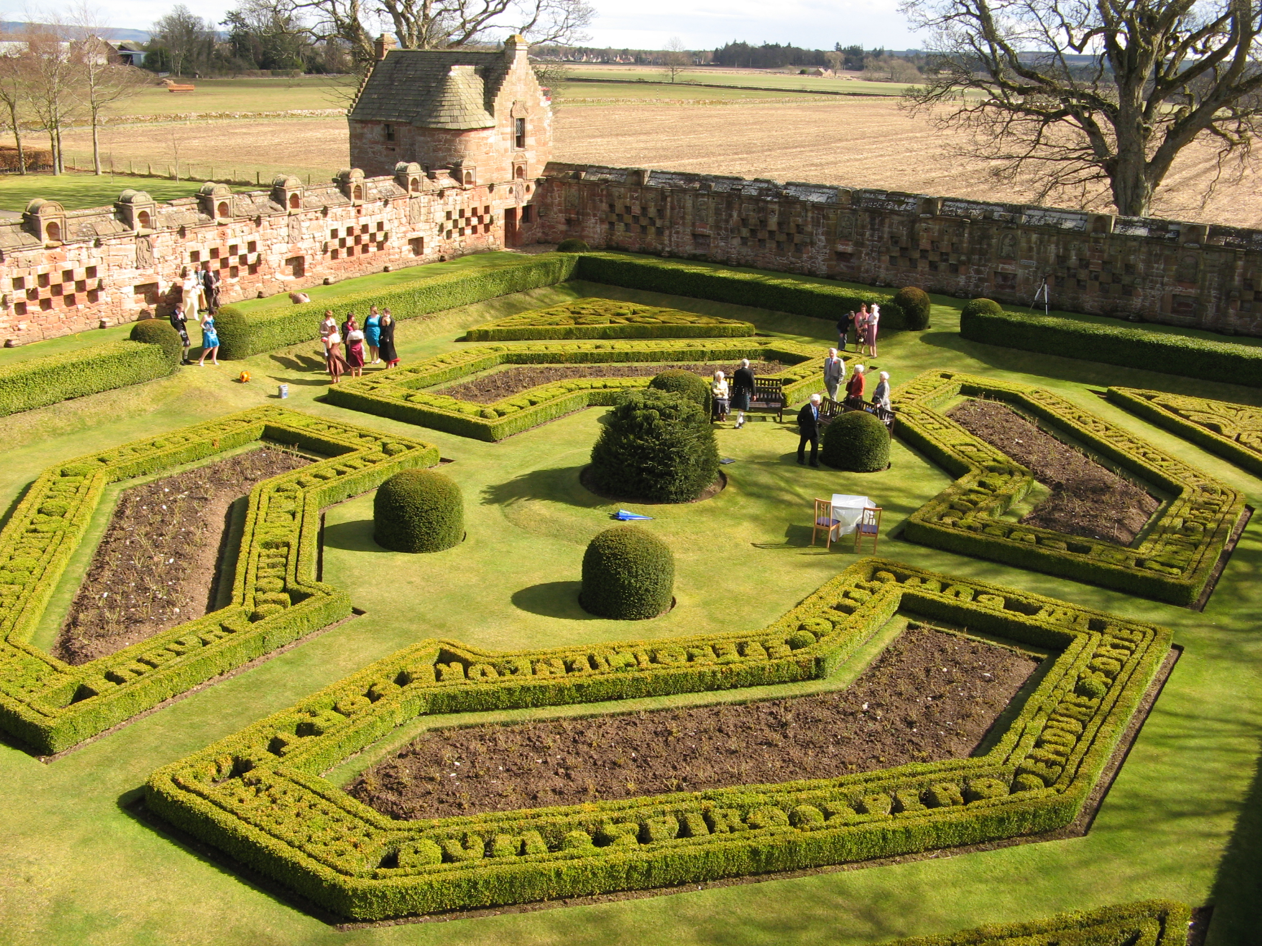
Photos
Weather for this location
Loading local forecast…
Nearby places
Useful places within 5 km