Birds — Mallard, Carrion Crow, Jackdaw +82 more · last seen 2025; Birds — Mallard, Carrion Crow, Jackdaw +82 more · last seen 2025
Free
🍂
Seasonal nature
Strong match
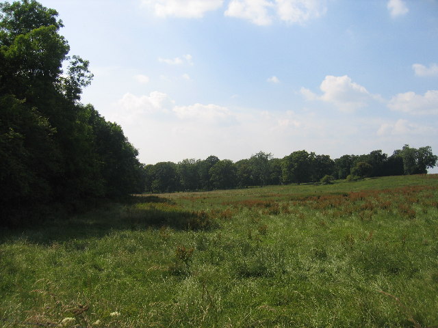
Ancient woodland — bluebells, fungi and autumn colour; Plants — Giant Hogweed · last seen 2022
Free
🐶
Dog walks
Strong match
Dogs allowed — public woodland
Free
🦋
Insect spotting
Good match
Insects — 24-spot Ladybird, Common Red Soldier Beetle, Pine Ladybird +2 more · last seen 2025; Insects — 24-spot Ladybird, Common Red Soldier Beetle, Pine Ladybird +2 more · last seen 2025
Free
🌿
Foraging
Good match
Deciduous woodland — fungi, berries and wild garlic
Varies
Trails nearby
Within roughly 5 km
🚶
Walking
▾
13 signed routes nearby · 3 public paths nearby
Signed route nearbyPublic paths
Monarch's WayWalking route990 km▾
approximate route of Charles II's escape
Named routeRef MWLength 990 kmRegional walking route
Heart of England WayWalking route▾
Named routeListed length 161kmRegional walking route
Grand Union Canal WalkWalking route234 km▾
Birmingham to Napton section
Named routeLength 234 kmRegional walking route
Millennium Way (Warks)Walking route100 km▾
A 100 mile long distance footpath, across the centre of England from Pershore to Chipping Warden via Meriden.
A 4.75-mile walk to discover ancient villages, churches and leafy woodland amid some truly glorious Warwickshire countryside.
Duration: 2.5 hours
Distance: 4.75 miles
Named routeRef rtBeaLength 7.6 kmPoint-to-pointLocal walking route
🚴
Cycling
▾
7 signed routes nearby
Signed route nearby
National Cycle Network Route 5Cycling route▾
Named routeRef 5National Cycle Network
Route SRCycling route▾
Named routeRef SRLocal cycle route
Main RouteCycling route5.8 km▾
Named routeRef 5Length 5.8 kmNational Cycle NetworkOn-roadSurface asphalt
Main RouteCycling route630 m▾
Named routeRef 5Length 630 mNational Cycle NetworkTraffic-freeSurface unsealedfirm
Main RouteCycling route95 m▾
Named routeRef 5Length 95 mNational Cycle NetworkOn-roadSurface asphalt
Main RouteCycling route171 m▾
Named routeRef 5Length 171 mNational Cycle NetworkOn-roadSurface asphalt
🐴
Horse riding
▾
1 public path nearby
Public paths
No named routes yet. Public paths are shown on the map.