Getting here
53.58534, -1.13743
Visiting this summer
Seasonal nature notes and what to look for now
Visiting this summer
Seasonal nature notes and what to look for now
- 🐦60+ species recorded in this area — summer evenings are best for activity; watch for Swallow and Magpie
- 🐕Early mornings are best for dog walks in summer — visit before 9am to avoid the heat and find quieter trails
- 📍Open access throughout summer — no booking required
🌤️ Visiting this summer
- 🐦60+ species recorded in this area — summer evenings are best for activity; watch for Swallow and Magpie
- 🐕Early mornings are best for dog walks in summer — visit before 9am to avoid the heat and find quieter trails
- 📍Open access throughout summer — no booking required
Good to know
- £Free to visit — no entry charge
- 🐕Dogs welcome
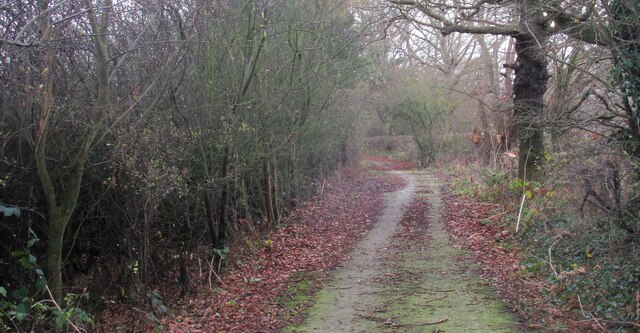
- 🌿Ancient woodland — rare wildlife habitat
Best for
Bird watching
Very strong match
Birds — Swallow, Magpie, Carrion Crow +57 more · last seen 2025; Birds — Swallow, Magpie, Carrion Crow +57 more · last seen 2025
Wildlife
Very strong match
Multi-group wildlife — Birds, Mammals; Multi-group wildlife — Birds, Mammals
Seasonal nature
Strong match
Ancient woodland — bluebells, fungi and autumn colour; Plants — Cowslip, Meadowsweet, Cuckooflower +64 more · last seen 2025
Dog walks
Strong match
Dogs allowed — public woodland
Insect spotting
Strong match
Insects — Meadow Brown, Speckled Wood, Gatekeeper +36 more · last seen 2025; Insects — Meadow Brown, Speckled Wood, Gatekeeper +36 more · last seen 2025
Foraging
Good match
Deciduous woodland — fungi, berries and wild garlic; Plants — Meadowsweet, Dandelion, Garlic Mustard +4 more foraging species
Trails nearby
Within roughly 5 km🚶Walking
1 signed route nearby
Signed route nearby
Walking
Trans-Pennine Trail (Wombwell to Selby)Walking route
🚴Cycling
28 signed routes nearby
Signed route nearby
Cycling
Trans Pennine TrailCycling route
Main RouteCycling route184 m
Main RouteCycling route3.9 km
Main RouteCycling route1.4 km
Main RouteCycling route63 m
Main RouteCycling route407 m
🐴Horse riding
3 public paths nearby
Public paths
Horse riding
Honey Lands Lanebridleway · 593 m
Tilts Lanebridleway · 374 m
Wildlife to spot
Photos
Weather for this location
Loading local forecast…
Nearby places
Useful places within 5 km
Own or manage this place?
Claim this listing to keep details accurate, add photos, and highlight what makes it special — free.
Claim this pageHow was your visit?
How useful was the information on this page?
id: 7175f714-5ce2-4bc0-b376-820ca7be0168