🐦63+ species recorded in this area — summer evenings are best for activity; watch for Wren and Dipper
🧺Good picnic destination in summer — open space and facilities for a relaxed day out
🐕Dogs welcome — bring water in summer; the site has enough space to find shade on hot days
🌤️ Visiting this summer
🐦63+ species recorded in this area — summer evenings are best for activity; watch for Wren and Dipper
🧺Good picnic destination in summer — open space and facilities for a relaxed day out
🐕Dogs welcome — bring water in summer; the site has enough space to find shade on hot days
Good to know
£Free to visit — no entry charge
🐕Dogs welcome
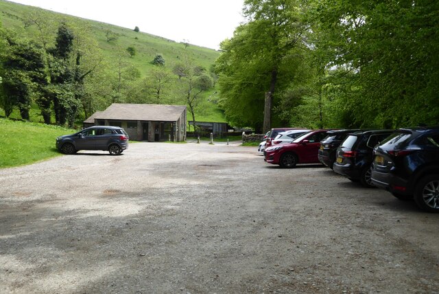
🅿️Parking🧺Picnic spot🚻Toilets
Best for
9 activities
🧺
Picnic day out
Very strong match
picnic area, toilets, car park; Urban park — open green space
Free
🦅
Bird watching
Very strong match
Birds — Wren, Dipper, Robin +60 more · last seen 2026; Deciduous woodland — woodpeckers, warblers and woodland birds
Free
🦉
Wildlife
Strong match
Birds — Wren, Dipper, Robin +60 more · last seen 2026; Deciduous woodland priority habitat
Free
🦋
Insect spotting
Strong match
Insects — Murky-legged Black Legionnaire, Cercopis vulnerata, Rhingia campestris +163 more · last seen 2026; Acid grassland — heathland butterflies and rare invertebrates
Free
🛝
Family friendly
Strong match
toilets, picnic area; Urban park — family destination
Free
🍂
Seasonal nature
Strong match
Plants — Early-purple Orchid, Hart's-Tongue, Common Spotted-orchid +201 more · last seen 2026
Free
Trails nearby
Within roughly 5 km
🚶
Walking
▾
5 signed routes nearby · 6 public paths nearby
Signed route nearbyPublic paths
Midshires WayWalking route370 km▾
Multi-use trail links the Ridgeway National Trail with the Trans Pennine Trail
Named routeLength 370 kmRegional walking route
Limestone WayWalking route74 km▾
Castleton to Rocester
Named routeLength 74 kmPoint-to-pointRegional walking route
White Peak Loop - Link to Monsal TrailWalking route▾
Named route
Peak District Boundary Walk Stage 1Walking route▾
Named routeRegional walking route
Monsal TrailWalking route▾
Named routeLocal walking route
Tideswell Dalepublic footpath · 268 m▾
Public pathpublic footpathLength 268 mPath type: footway
🚴
Cycling
▾
18 signed routes nearby
Signed route nearby
Monsal TrailCycling route▾
Named routeRef 680National Cycle Network
Main RouteCycling route2.4 km▾
Named routeRef 680Length 2.4 kmNational Cycle NetworkTraffic-freeSurface unsealedfirm
Main RouteCycling route34 m▾
Named routeRef 680Length 34 mNational Cycle NetworkTraffic-freeSurface asphalt
Main RouteCycling route69 m▾
Named routeRef 680Length 69 mNational Cycle NetworkTraffic-freeSurface unsealedfirm
Main RouteCycling route709 m▾
Named routeRef 680Length 709 mNational Cycle NetworkTraffic-freeSurface unsealedfirm
Main RouteCycling route476 m▾
Named routeRef 680Length 476 mNational Cycle NetworkTraffic-freeSurface asphalt
🚵
Mountain biking
▾
1 signed route nearby
Signed route nearby
Great North Trail (Peak District and South Pennines)Mountain bike route130.4 km▾