Twisted Stone Golf Club
Plan your visit
Getting here
51.32437, -0.49508
Visiting this summer
Seasonal nature notes and what to look for now
Visiting this summer
Seasonal nature notes and what to look for now
- ☀️June — long evenings and clear skies; one of the most rewarding months for a late visit
- ⛳Golf is at its best in summer here
- 🐕Dogs welcome — bring water in summer; the site has enough space to find shade on hot days
🌤️ Visiting this summer
- ☀️June — long evenings and clear skies; one of the most rewarding months for a late visit
- ⛳Golf is at its best in summer here
- 🐕Dogs welcome — bring water in summer; the site has enough space to find shade on hot days
Good to know
- 🐕Dogs welcome
Best for
Wildlife
Very strong match
Multi-group wildlife — Amphibians, Birds, Mammals, Reptiles; Multi-group wildlife — Amphibians, Birds, Mammals, Reptiles
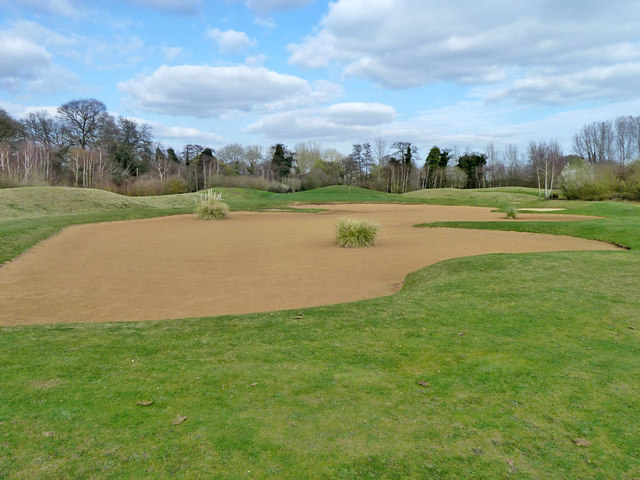
Golf
Very strong match
Golf course
Bird watching
Very strong match
Birds — Woodpigeon, Robin, Carrion Crow +59 more · last seen 2026; Birds — Woodpigeon, Robin, Carrion Crow +59 more · last seen 2026
Insect spotting
Strong match
Insects — 7-spot Ladybird, Common Darter, Migrant Hawker +46 more · last seen 2026; Insects — 7-spot Ladybird, Common Darter, Migrant Hawker +46 more · last seen 2026
Hiking
Good match
Named hiking route nearby: European walking route E2 west, UK, South East England
Dog walks
Good match
Dogs allowed with public access
Trails nearby
Within roughly 5 km🚶Walking
10 signed routes nearby · 36 public paths nearby
Signed route nearbyPublic paths
Walking
Locks and Levels (SCC)Walking route
The Fox WayWalking route
Canons and CornmillsWalking route
Papercourt Lock to Triggs Lock Walk, River Wey NavigationsWalking route9.6 km
Starting from Papercourt, this walk is based in Send, where the River Wey Navigations has its navigation workshops. On this flat route you'll find locks from the 1760s and ponds and meadows that are important for the local wildlife. Flat & easy walking.
European walking route E2 west, UK, South East EnglandWalking route
Westroute: Stranraer (UK) - Birminhgham (UK) - Calais (FR) - Zoersel (BE) / Eastroute: Stranraer (UK) - Harwich (UK) - Rotterdam (NL) - Zoersel (BE) / Both Routes: Zoersel (BE) - Maastrich (NL) - Luxembourg (LUX) - Lake Geneva (CH) - Nice (FR)
River Wey Navigation pathpublic footpath · 12 m
FP 5public footpath · 39 m
FP 87public footpath · 290 m
🚴Cycling
95 signed routes nearby
Signed route nearby
Cycling
Neptune TrailCycling route
Mars TrailCycling route
Phobos TrailCycling route
Mimas TrailCycling route
Brooklands Business Park Accessibility Project (proposed)Cycling route
A3 Cycle Route (alternative)Cycling route
🚵Mountain biking
1 signed route nearby
Signed route nearby
Mountain biking
Basingstoke Canal TowpathMountain bike route
🐴Horse riding
14 public paths nearby
Public paths
Horse riding
Sandy Lanebridleway · 123 m
Dodd's Lanebridleway · 43 m
Dodd's Bridgebridleway · 11 m
Sandy Lanebridleway · 234 m
Dodd's Lanebridleway · 64 m
Wildlife to spot
Photos
Weather for this location
Loading local forecast…
Nearby places
Useful places within 5 km
How was your visit?
How useful was the information on this page?
id: 7b4e1abc-d9ab-4a09-aec5-551a025867be