🐦97+ species recorded in this area — summer evenings are best for activity; watch for Curlew and Redstart
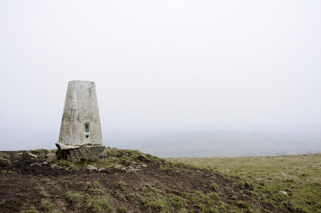
✦Historic character is a year-round quality here — summer brings its own atmosphere to the setting
🐕Dogs welcome — bring water in summer; the site has enough space to find shade on hot days
🌤️ Visiting this summer
🐦97+ species recorded in this area — summer evenings are best for activity; watch for Curlew and Redstart
✦Historic character is a year-round quality here — summer brings its own atmosphere to the setting
🐕Dogs welcome — bring water in summer; the site has enough space to find shade on hot days
Good to know
£Free to visit — no entry charge
🐕Dogs welcome
Best for
7 activities
🦅
Bird watching
Very strong match
Birds — Curlew, Redstart, Carrion Crow +94 more · last seen 2025
Free
✦
Heritage
Strong match
Historic site with public access
Free
🦉
Wildlife
Strong match
Birds — Curlew, Redstart, Carrion Crow +94 more · last seen 2025
Free
🦋
Insect spotting
Strong match
Insects — Common Green Grasshopper, Green-veined White, Cercopis vulnerata +22 more · last seen 2023
Free
🐶
Dog walks
Good match
Dogs allowed with public access
Free
🍂
Seasonal nature
Good match
Plants — Bog Moss, Coltsfoot, European Larch +13 more · last seen 2026
Free
Trails nearby
Within roughly 5 km
🚶
Walking
▾
4 signed routes nearby · 12 public paths nearby
Signed route nearbyPublic paths
Peak District Boundary Walk Stage 16Walking route18.1 km▾
Named routeLength 18.1 kmRegional walking route
Ilam Park to Wetton Circular Walk, Ilam ParkWalking route16 km▾
Farmland route with stiles hills and uneven ground
https://nt.global.ssl.fastly.net/binaries/content/assets/website/national/regions/peak-district-derbyshire/places/ilam-park-dovedale-and-the-white-peak/pdf/230525-property-access-statement---ilam-park.pdf
Named routeLength 16 kmDuration 04:30Round tripLocal walking route
Manifold TrailWalking route▾
Named routeLocal walking route
Hamps WayWalking route23 km▾
Named routeLength 23 kmLocal walking route
🚴
Cycling
▾
16 signed routes nearby
Signed route nearby
Route 549Cycling route▾
Named routeRef 549National Cycle Network
Main RouteCycling route26 m▾
Named routeRef 549Length 26 mNational Cycle NetworkTraffic-freeSurface other
Main RouteCycling route218 m▾
Named routeRef 549Length 218 mNational Cycle NetworkTraffic-freeSurface asphalt
Main RouteCycling route19 m▾
Named routeRef 549Length 19 mNational Cycle NetworkOn-roadSurface asphalt
Main RouteCycling route559 m▾
Named routeRef 549Length 559 mNational Cycle NetworkOn-roadSurface asphalt
Main RouteCycling route351 m▾
Named routeRef 549Length 351 mNational Cycle NetworkTraffic-freeSurface asphalt