Birds — Raven, Magpie, Robin +69 more · last seen 2026; Birds — Raven, Magpie, Robin +69 more · last seen 2026
Free
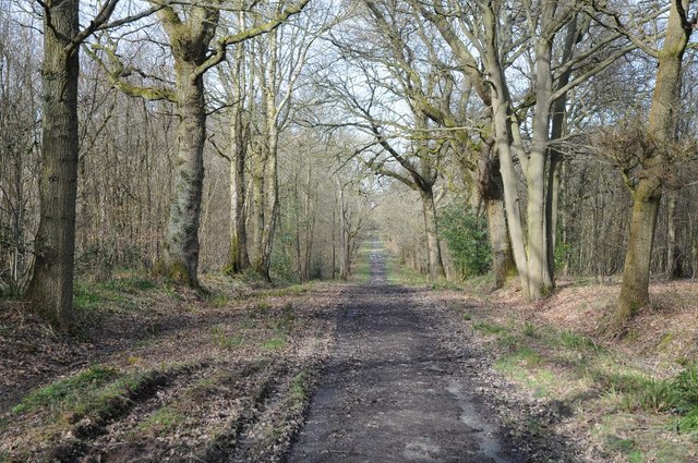
🍂
Seasonal nature
Strong match
Ancient woodland — bluebells, fungi and autumn colour; Plants — Raspberry, Great Scented Liverwort · last seen 2025
Free
🦋
Insect spotting
Strong match
Insects — 7-spot Ladybird, Sphaerophoria, Marmalade Hoverfly +98 more · last seen 2026; Insects — 7-spot Ladybird, Sphaerophoria, Marmalade Hoverfly +98 more · last seen 2026
Free
🌿
Foraging
Good match
Deciduous woodland — fungi, berries and wild garlic
Varies
✦
Heritage
Good match
Ancient woodland — historic landscape
Free
Trails nearby
Within roughly 5 km
🚶
Walking
▾
21 signed routes nearby · 2 public paths nearby
Signed route nearbyPublic paths
Monarch's WayWalking route990 km▾
approximate route of Charles II's escape
Named routeRef MWLength 990 kmRegional walking route
Lye Town History TrailWalking route▾
Discover the hidden history and architecture of Lye High Street along this clockwise circular trail.
Duration: 54 mins
Named routeRound tripLocal walking route
The Lye & Wollescote Cemetery TrailWalking route▾
Take a stroll around the tranquil surroundings of The Lye & Wollescote Cemetery to discover the fascinating stories of some of those who shaped the town’s history. Duration: 45 mins
Named routeRef LWCTRound tripLocal walking route
The Leasowes Red Walking TrailWalking route3.3 km▾
Red trail 3.3km – 1 hour 15 minutes. Moderate difficulty with some undulating ground and one short climb. Gravelled paths lead you around the woodland valleys & watercourses.
Named routeRef L-RLength 3.3 kmRound tripLocal walking route
North Worcestershire PathWalking route▾
Named routeRegional walking route
🚴
Cycling
▾
31 signed routes nearby
Signed route nearby
National Cycle Network Route 5Cycling route▾
Named routeRef 5National Cycle Network
SCWIP Cycle Route 13Cycling route▾
Named routeRef SCWIP CR13Local cycle route
Birmingham Local Cycle NetworkCycling route▾
Birmingham Local Cycle Network
Named routeLocal cycle route
Stourbridge Circular (Leys Junction to Delph Locks)Cycling route14 km▾
Follow Stourbridge Canal down scenic locks, then takeStourbridge Town Arm to Bonded Warehouse, follow NCR54 through suburbia, rejoinin the canal at Black Delph and go left at Leys Junction to return to Dell Sports Centre. Route includes low footbridge!
Named routeLength 14 kmRound tripLocal cycle route
Route 54Cycling route▾
Named routeRef 54National Cycle Network
Cycle Route Cradley Heath to Black HeathCycling route▾