Plan your visit
Getting here
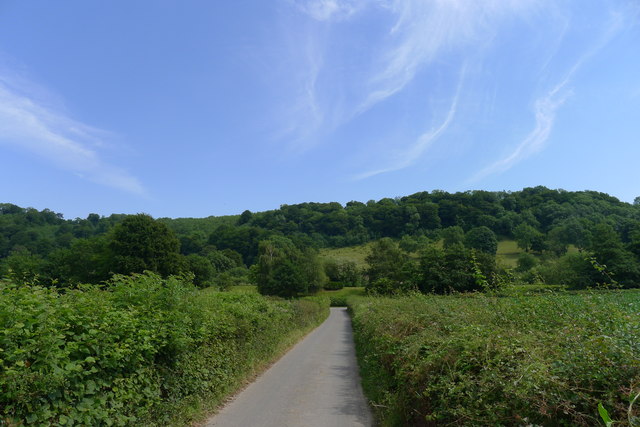
51.68864, -2.31256
Visiting this summer
Seasonal nature notes and what to look for now
Visiting this summer
Seasonal nature notes and what to look for now
- 🐦76+ species recorded in this area — summer evenings are best for activity; watch for Shoveler and Pochard
- ✦Historic character is a year-round quality here — summer brings its own atmosphere to the setting
- 🐕Dogs welcome — bring water in summer; the site has enough space to find shade on hot days
🌤️ Visiting this summer
- 🐦76+ species recorded in this area — summer evenings are best for activity; watch for Shoveler and Pochard
- ✦Historic character is a year-round quality here — summer brings its own atmosphere to the setting
- 🐕Dogs welcome — bring water in summer; the site has enough space to find shade on hot days
Good to know
- £Free to visit — no entry charge
- 🐕Dogs welcome
Best for
Bird watching
Very strong match
Birds — Shoveler, Pochard, Black-tailed Godwit +73 more · last seen 2026; Deciduous woodland — woodpeckers, warblers and woodland birds
Wildlife
Strong match
Birds — Shoveler, Pochard, Black-tailed Godwit +73 more · last seen 2026; Deciduous woodland priority habitat
Heritage
Strong match
Historic site with public access
Insect spotting
Strong match
Chalk and limestone grassland — chalkhill blue, adonis blue and rare moths; Insects — Glow-worm, Dark Bush-cricket, Rugged Oil-beetle +10 more · last seen 2025
Hiking
Strong match
Named hiking route nearby: Cotswold Way; Named hiking route nearby: Cotswold Way
Dog walks
Good match
Dogs allowed with public access
Trails nearby
Within roughly 5 km🚶Walking
7 signed routes nearby · 12 public paths nearby
Signed route nearbyPublic paths
Walking
Wotton-under-Edge Cotswold Gateway Route 2Walking route8 km
Cotswold WayWalking route164 km
Cotswold Way (Stinchcombe Hill by pass)Walking route
a short cut across bottom section of Stinchcombe Hill Golf Course
Woodchester Blue TrailWalking route
Wotton-under-Edge Cotswold Gateway Route 1Walking route12.1 km
🚴Cycling
5 signed routes nearby
Signed route nearby
Cycling
Route 41Cycling route
Main RouteCycling route1.5 km
Main RouteCycling route94 m
Main RouteCycling route34 m
Main RouteCycling route1 km
🐴Horse riding
8 public paths nearby
Public paths
Horse riding
Crawley Lanebridleway · 178 m
Wildlife to spot
Photos
Weather for this location
Loading local forecast…
Nearby places
Useful places within 5 km