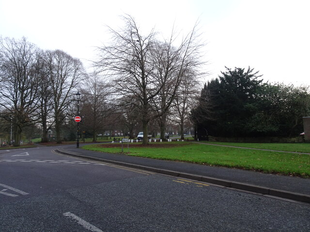
Upper Green
Plan your visit
Getting here
52.59907, -2.16961
Visiting this summer
Seasonal nature notes and what to look for now
Visiting this summer
Seasonal nature notes and what to look for now
- ☀️June — long evenings and clear skies; one of the most rewarding months for a late visit
- ☀️Summer family visits work well here — arrive early and plan for a longer stay
- ☕Café on site — makes this an easy full-day family visit without needing to pack food
🌤️ Visiting this summer
- ☀️June — long evenings and clear skies; one of the most rewarding months for a late visit
- ☀️Summer family visits work well here — arrive early and plan for a longer stay
- ☕Café on site — makes this an easy full-day family visit without needing to pack food
Good to know
- £Free to visit — no entry charge
- 🐕Dogs welcome
Best for
Family friendly
Very strong match
playground, café, toilets; Urban park — family destination
Playgrounds
Very strong match
playground, toilets, café, parking
Wildlife
Very strong match
Multi-group wildlife — Birds, Mammals; Multi-group wildlife — Birds, Mammals
Picnic day out
Strong match
café, toilets, car park; Urban park — open green space
Bird watching
Strong match
Birds — Herring Gull, Black-headed Gull, Greylag Goose +46 more · last seen 2026; Birds — Herring Gull, Black-headed Gull, Greylag Goose +46 more · last seen 2026
Dog walks
Strong match
Dogs allowed with public access
Trails nearby
Within roughly 5 km🚶Walking
11 signed routes nearby · 1 public path nearby
Signed route nearbyPublic paths
Walking
Monarch's WayWalking route990 km
approximate route of Charles II's escape
Staffordshire Way (Cannock Chase South)Walking route
Staffordshire Way, part Cannock Chase - south
ABCD War Heritage TrailWalking route
A short guide to some of the First and Second World War heritage of the All Saints and the Blakenhall area. This trail explores historic Wolverhampton sites associated with the periods 1914-1918 and 1939-1945.
All Saints' TrailWalking route
Heritage trail around the large former Parish of All Saints along a route traditionally church members would walk to beat set points with canes (known as 'Beating the Bounds) This formed a mental map of the area when maps were rare.
Tettenhall Village TrailWalking route
The Tettenhall Trail takes you on a walk around the village pointing out some of its important buildings and historic sites. Due to the hilly nature, those with mobility issues are likely to find the trail difficult due to steep slopes and steps.
College Roadpublic footpath · 134 m
🚴Cycling
72 signed routes nearby
Signed route nearby
Cycling
[PROPOSED]Starley Regional Cycle NetworkCycling route804 km
Starley (TfWM) Regional Cycle Network (Proposed route)
National Cycle Network Route 81 (removed)Cycling route
South Staffordshire Railway WalkCycling route
Sneyd Junction to Horseley Fields JunctionCycling route9.6 km
Canalside route following the Wyrley & Essington, taking New Cross Bridge, where the towpath changes to the other side of the canal. Distance: 6 miles/9.6 km (approx) Duration: 60 min (approx)
Horseley Fields Junction to Factory JunctionCycling route8 km
This route begins and ends with a pub, and travels through Coseley Tunnel. To avoid the tunnel, leave the canal at Bridgewater Drive and return via Central Drive. Distance: 5 miles/8 km (approx) Duration: 45 min (approx)
Route 81Cycling route
Wildlife to spot
Photos
Weather for this location
Loading local forecast…
Nearby places
Useful places within 5 km
How was your visit?
How useful was the information on this page?
id: cd8fc2be-4b44-48c5-be9f-5e0f94fc1a75