Getting here
55.16354, -6.81460
Visiting this summer
Seasonal nature notes and what to look for now
Visiting this summer
Seasonal nature notes and what to look for now
- 🐦104+ species recorded in this area — summer evenings are best for activity; watch for Raven and Fulmar
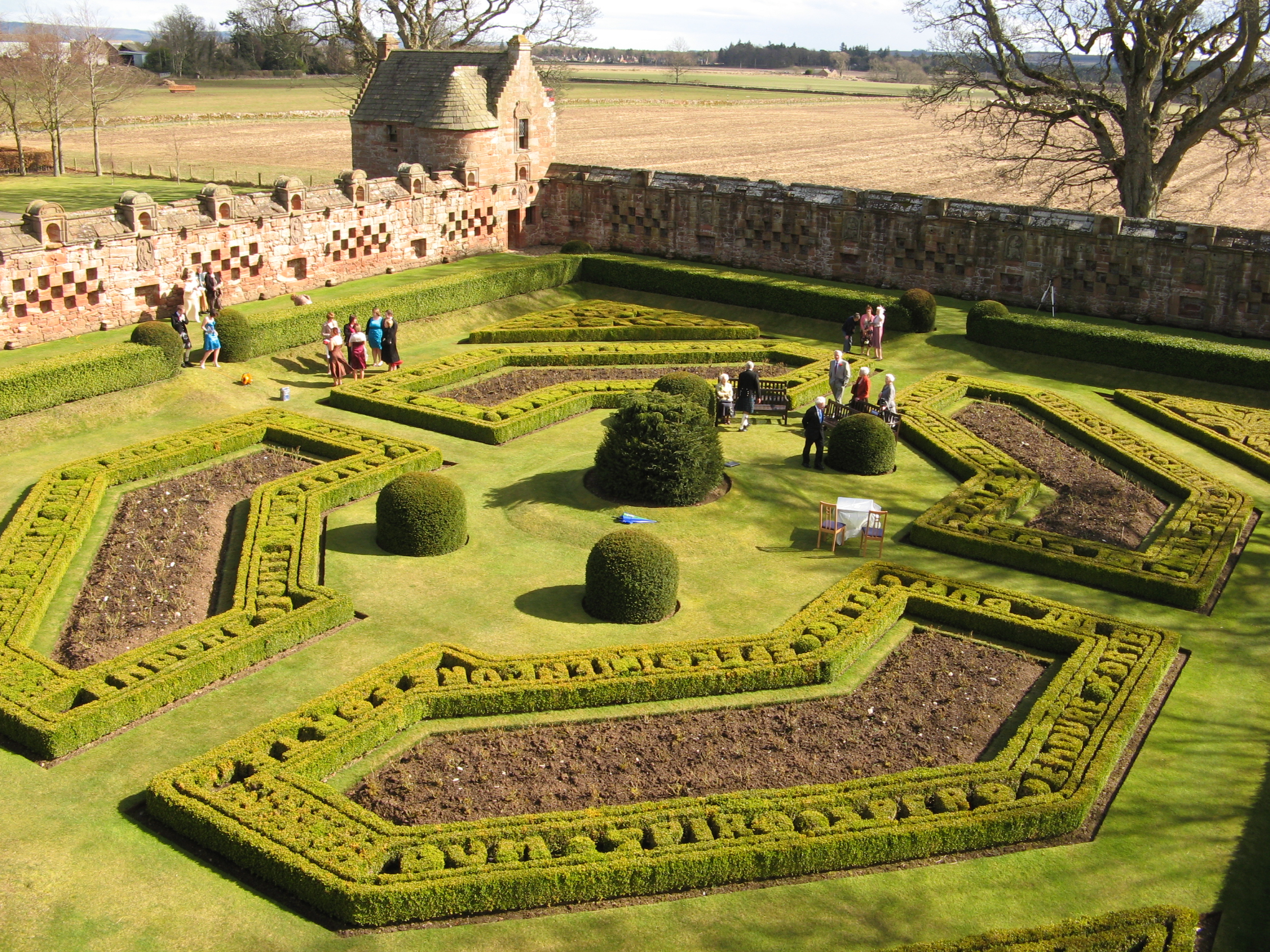
- 🧺Good picnic destination in summer — open space and facilities for a relaxed day out
- 🐕Dogs welcome — bring water in summer; the site has enough space to find shade on hot days
🌤️ Visiting this summer
- 🐦104+ species recorded in this area — summer evenings are best for activity; watch for Raven and Fulmar
- 🧺Good picnic destination in summer — open space and facilities for a relaxed day out
- 🐕Dogs welcome — bring water in summer; the site has enough space to find shade on hot days
Good to know
- £Free to visit — no entry charge
- 🐕Dogs welcome
Best for
Picnic day out
Very strong match
picnic area, toilets, car park; Urban park — open green space
Bird watching
Very strong match
Birds — Raven, Fulmar, Robin +101 more · last seen 2025; Birds — Raven, Fulmar, Robin +101 more · last seen 2025
Wildlife
Very strong match
Multi-group wildlife — Birds, Mammals; Multi-group wildlife — Birds, Mammals
Insect spotting
Strong match
Insects — Leucozona glaucia, Chrysolina banksii, 7-spot Ladybird +48 more · last seen 2025; Insects — Leucozona glaucia, Chrysolina banksii, 7-spot Ladybird +48 more · last seen 2025
Family friendly
Strong match
toilets, picnic area; Urban park — family destination
Dog walks
Strong match
Dogs allowed with public access
Trails nearby
Within roughly 5 km🚶Walking
6 signed routes nearby
Signed route nearby
Walking
Ulster WayWalking route1000 km
A series of walking routes which encircles Northern Ireland.
Ulster Way Link SectionsWalking route1000 km
"The Ulster Way Link Sections are not waymarked and mainly on public roads some of which can be very busy. Walkers are actively encouraged to make use of public transport along these sections"
North Sperrins Way (Ulster Way Section)Walking route
Dune and Estuary Walk, Portstewart StrandWalking route5.6 km
Walk through the 6000yr old dune system at Portstewart Strand, to the river edge at Bann Estuary. Spot wildflowers & butterflies. Steep sandy paths can be soft underfoot.\\nhttps://www.accessable.co.uk/national-trust/portstewart-strand-national-trust"
Earl Bishop's Tree Trail, DownhillWalking route1.9 km
Gravel paths, mown grass tracks and some steep steps. https://www.accessable.co.uk/national-trust/mussenden-temple-and-downhill-demesne-national-trust
🚴Cycling
12 signed routes nearby
Signed route nearby
Cycling
National Cycle Network National Route 93Cycling route
"National Route 93 of the National Cycle Network is formed of sections of traffic-free route between Derry and Larne." (most of the route was de-designated in Summer 2020)
Causeway Coast cycle routeCycling route
"This stunning 23-mile cycle route runs along the North Atlantic coast from Castlerock to the Giant's Causeway via Coleraine and takes in part of National Cycle Network Route 93. "
Safe Route to SchoolCycling route
Limavady BoroughCycling route
Formerly part of Walk Wheel Cycle Trust's NCN93, de-designated by them in 2020 on safety grounds
Main RouteCycling route1.2 km
Main RouteCycling route12 m
Wildlife to spot
Photos
Weather for this location
Loading local forecast…
Nearby places
Useful places within 5 km
Own or manage this place?
Claim this listing to keep details accurate, add photos, and highlight what makes it special — free.
Claim this pageHow was your visit?
How useful was the information on this page?
id: b50df63d-b911-48e5-a1b6-bb2cb8b84a9a