Plan your visit
Getting here
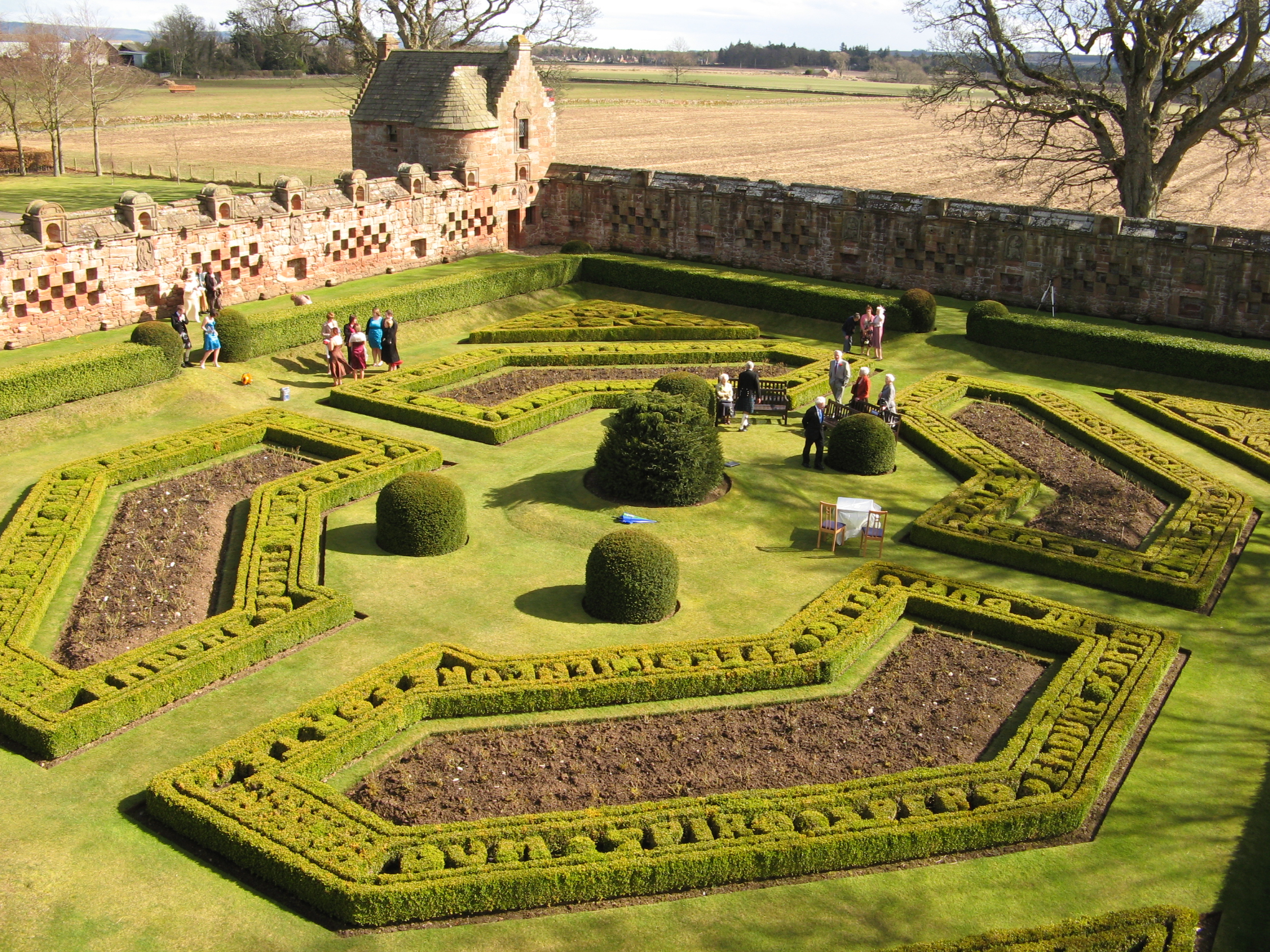
56.94683, -4.99510
Visiting this summer
Seasonal nature notes and what to look for now
Visiting this summer
Seasonal nature notes and what to look for now
- 🐦61+ species recorded in this area — summer evenings are best for activity; watch for Chaffinch and Robin
- 🐕Early mornings are best for dog walks in summer — visit before 9am to avoid the heat and find quieter trails
- 📍Open access throughout summer — no booking required
🌤️ Visiting this summer
- 🐦61+ species recorded in this area — summer evenings are best for activity; watch for Chaffinch and Robin
- 🐕Early mornings are best for dog walks in summer — visit before 9am to avoid the heat and find quieter trails
- 📍Open access throughout summer — no booking required
Good to know
- £Free to visit — no entry charge
- 🐕Dogs welcome
Best for
Bird watching
Very strong match
Birds — Chaffinch, Robin, Coal Tit +58 more · last seen 2025
Wildlife
Strong match
Birds — Chaffinch, Robin, Coal Tit +58 more · last seen 2025
Insect spotting
Strong match
Insects — Black flies, Small Pearl-bordered Fritillary, Neureclipsis bimaculata +23 more · last seen 2025
Dog walks
Strong match
Dogs allowed with public access
Family friendly
Good match
Urban park — family destination
Picnic day out
Good match
Urban park — open green space
Trails nearby
Within roughly 5 km🚶Walking
2 signed routes nearby
Signed route nearby
Walking
Great Glen Way - Slighe a' Ghlinne MhòirWalking route120 km
A waymarked route (75 m/120 km) from Fort William (leaving behind Britain’s highest mountain, Ben Nevis) to Inverness, the Highlands capital. It follows a great geological fault and sections of Thomas Telford’s historic Caledonian Canal.
Cape Wrath Trail (Fort William → Invergarry → Morvich)Walking route
unmarked
🚴Cycling
5 signed routes nearby
Signed route nearby
Cycling
NCN National Route 78 (north)Cycling route
Main RouteCycling route6.2 km
Main RouteCycling route79 m
Main RouteCycling route6.4 km
Main RouteCycling route9.4 km
🚵Mountain biking
1 signed route nearby
Signed route nearby
Mountain biking
Highland Trail 550Mountain bike route
Wildlife to spot
Photos
Weather for this location
Loading local forecast…
Nearby places
Useful places within 5 km