🌞Midsummer — early morning visits most comfortable; look for deer fawns in quieter clearings
🐕Early mornings are best for dog walks in summer — visit before 9am to avoid the heat and find quieter trails
📍Open access throughout summer — no booking required
🌤️ Visiting this summer
🌞Midsummer — early morning visits most comfortable; look for deer fawns in quieter clearings
🐕Early mornings are best for dog walks in summer — visit before 9am to avoid the heat and find quieter trails
📍Open access throughout summer — no booking required
Good to know
£Free to visit — no entry charge
🐕Dogs welcome
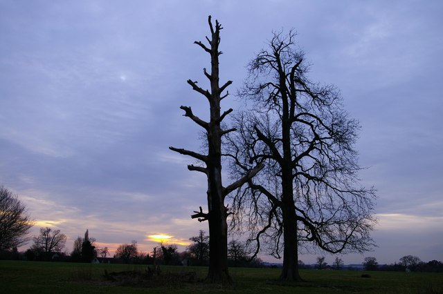
🌿Ancient woodland — rare wildlife habitat
Best for
8 activities
🍂
Seasonal nature
Strong match
Ancient woodland — bluebells, fungi and autumn colour
Free
🦉
Wildlife
Strong match
Deciduous woodland priority habitat; Ancient woodland
Free
🐶
Dog walks
Strong match
Dogs allowed — public woodland
Free
🦅
Bird watching
Strong match
Deciduous woodland — woodpeckers, warblers and woodland birds
Free
🌿
Foraging
Good match
Deciduous woodland — fungi, berries and wild garlic
Varies
✦
Heritage
Good match
Ancient woodland — historic landscape
Free
Trails nearby
Within roughly 5 km
🚶
Walking
▾
16 signed routes nearby · 21 public paths nearby
Signed route nearbyPublic paths
Three Forests WayWalking route96 km▾
Named routeLength 96 kmRound tripRegional walking route
Harcamlow WayWalking route▾
Named routeRef HARRegional walking route
Waterside StortfordWalking route▾
Named routeLocal walking route
Hatfield Forest and Flitch Way Walk, Hatfield ForestWalking route5.6 km▾
Circular family walk, through medieval hunting forest full of ancient trees. Terrain is flat. Paths can get muddy. Dogs on leads near livestock and around the lake.
Named routeLength 5.6 kmDuration 02:00Round tripLocal walking route
Trail takes you through the best places to see buttercups in May or June. Mostly level ground through grassy plains and woodland paths, some tree routes and gates. Paths can get muddy. Dogs on leads near livestock and around the lake.
Named routeLength 5.4 kmDuration 01:30Round tripLocal walking route
🚴
Cycling
▾
49 signed routes nearby
Signed route nearby
Regional Route 50Cycling route▾
Named routeRef 50Regional cycle route
NCN National Route 11Cycling route▾
Named routeRef 11National Cycle Network
Route 16Cycling route▾
Named routeRef 16National Cycle Network
Main RouteCycling route218 m▾
Named routeRef 11Length 218 mNational Cycle NetworkTraffic-freeSurface asphalt
Main RouteCycling route17 m▾
Named routeRef 11Length 17 mNational Cycle NetworkTraffic-freeSurface asphalt
Main RouteCycling route35 m▾
Named routeRef 11Length 35 mNational Cycle NetworkOn-roadSurface asphalt
🐴
Horse riding
▾
6 public paths nearby
Public paths
Ryes Lanebridleway · 1 km▾
Public pathbridlewayLength 1 kmPath type: unclassified
Ryes Lanebridleway · 929 m▾
Public pathbridlewayLength 929 mPath type: unclassified