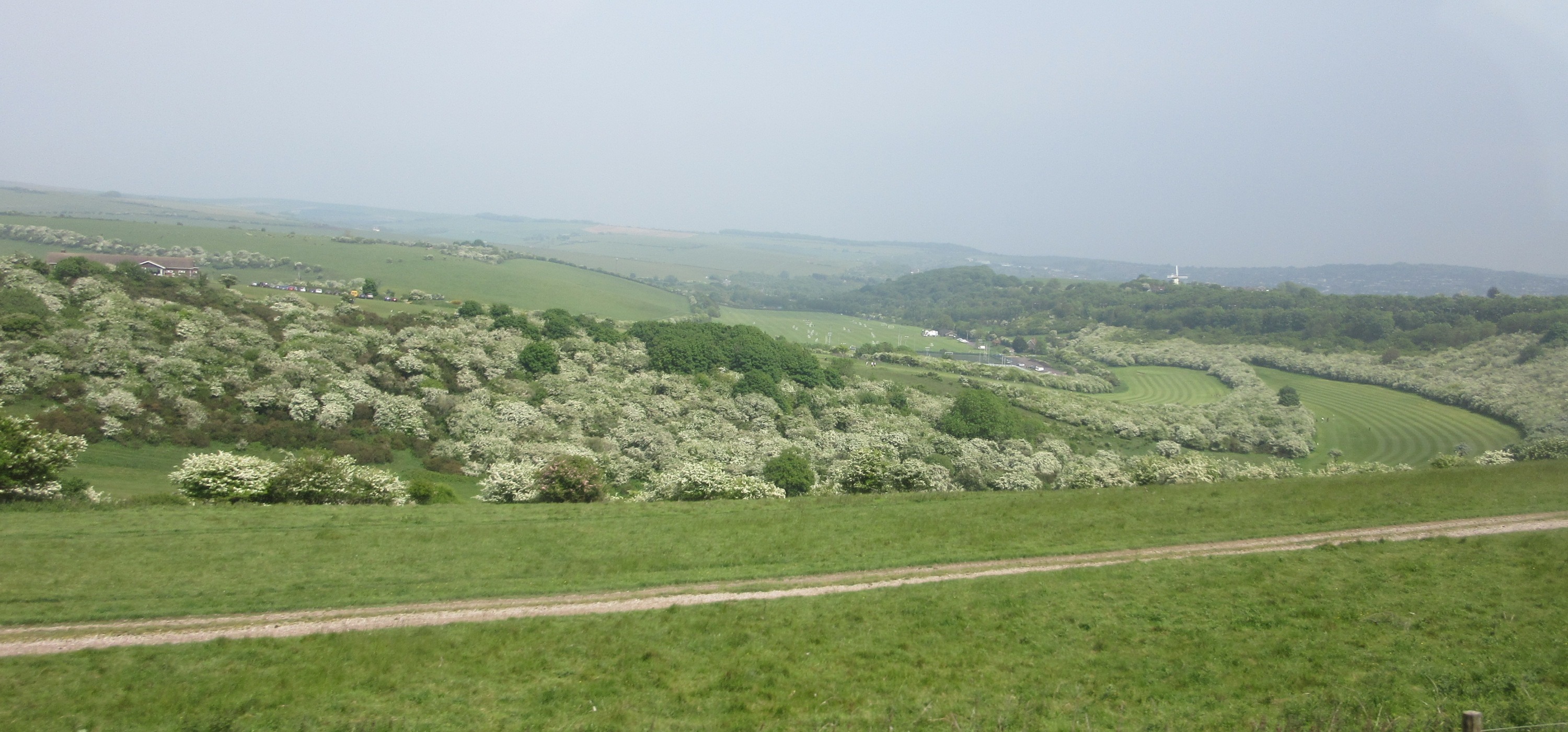
Waterhall Park
Plan your visit
Getting here
51.98580, -0.71560
Visiting this summer
Seasonal nature notes and what to look for now
Visiting this summer
Seasonal nature notes and what to look for now
- 🐦81+ species recorded in this area — summer evenings are best for activity; watch for Wigeon and Woodpigeon
- ☀️Summer family visits work well here — arrive early and plan for a longer stay
- 🛝Playground 214m away — built-in entertainment for younger visitors alongside the wider site
🌤️ Visiting this summer
- 🐦81+ species recorded in this area — summer evenings are best for activity; watch for Wigeon and Woodpigeon
- ☀️Summer family visits work well here — arrive early and plan for a longer stay
- 🛝Playground 214m away — built-in entertainment for younger visitors alongside the wider site
Good to know
- £Free to visit — no entry charge
- 🐕Dogs welcome
Best for
Bird watching
Very strong match
Birds — Wigeon, Woodpigeon, Wren +78 more · last seen 2026; Birds — Wigeon, Woodpigeon, Wren +78 more · last seen 2026
Wildlife
Very strong match
Multi-group wildlife — Birds, Mammals; Multi-group wildlife — Birds, Mammals
Insect spotting
Strong match
Lowland meadows — marbled white, meadow brown and pollinating insects; Insects — Common Blue Damselfly, Harlequin Ladybird, Blue-tailed Damselfly +19 more · last seen 2025
Playgrounds
Strong match
playground, parking
Family friendly
Strong match
playground; Urban park — family destination
Dog walks
Strong match
Dogs allowed with public access
Trails nearby
Within roughly 5 km🚶Walking
5 signed routes nearby · 31 public paths nearby
Signed route nearbyPublic paths
Walking
Midshires WayWalking route370 km
Multi-use trail links the Ridgeway National Trail with the Trans Pennine Trail
Grand Union Canal WalkWalking route
Napton to Coy Carp section
Greensand Ridge WalkWalking route64 km
Milton Keynes Boundary WalkWalking route
Seven Parishes Millennium Circular WalkWalking route21.6 km
Towpathpublic footpath · 893 m
Cranwell Crescentpublic footpath · 17 m
Towpathpublic footpath · 850 m
🚴Cycling
134 signed routes nearby
Signed route nearby
Cycling
Route 6Cycling route
National Byway (Bucks)Cycling route
MK Redway Super Route H8Cycling route
National Byway (Beds)Cycling route
MK Redway Super Route V11Cycling route
MK Redway Super Route V7Cycling route
🚵Mountain biking
1 signed route nearby
Signed route nearby
Mountain biking
Longslade TrailMountain bike route
🐴Horse riding
9 public paths nearby
Public paths
Horse riding
No named routes yet. Public paths are shown on the map.
Wildlife to spot
Photos
Weather for this location
Loading local forecast…
Nearby places
Useful places within 5 km
Own or manage this place?
Claim this listing to keep details accurate, add photos, and highlight what makes it special — free.
Claim this pageHow was your visit?
How useful was the information on this page?
id: 705a01e5-b33f-4b21-9e6a-1d1531bab5b6