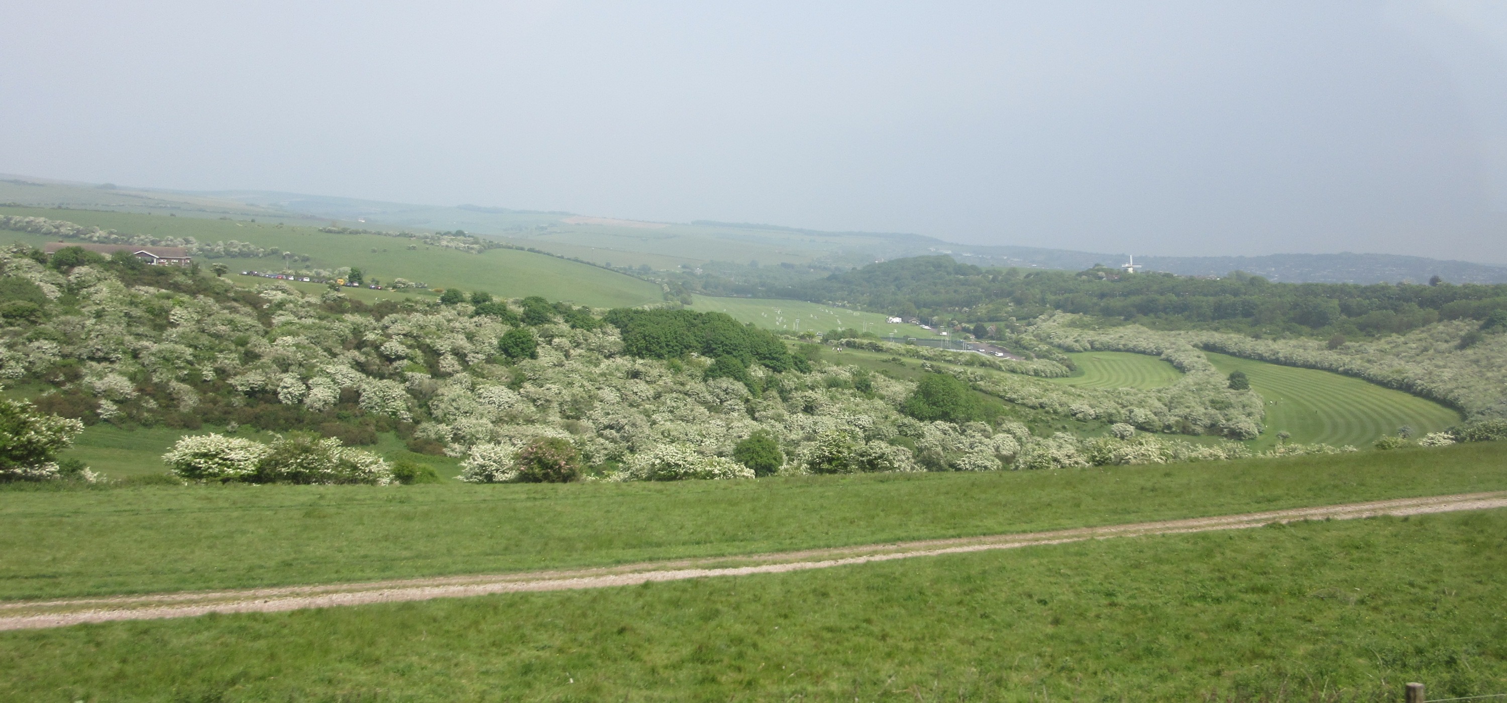
🐦66+ species recorded in this area — summer evenings are best for activity; watch for Lesser Black-backed Gull and Wren
☀️Summer family visits work well here — arrive early and plan for a longer stay
🛝Playground 186m away — built-in entertainment for younger visitors alongside the wider site
🌤️ Visiting this summer
🐦66+ species recorded in this area — summer evenings are best for activity; watch for Lesser Black-backed Gull and Wren
☀️Summer family visits work well here — arrive early and plan for a longer stay
🛝Playground 186m away — built-in entertainment for younger visitors alongside the wider site
Good to know
£Free to visit — no entry charge
🐕Dogs welcome
🅿️Parking🛝Playground
Best for
11 activities
🦅
Bird watching
Very strong match
Birds — Lesser Black-backed Gull, Wren, Robin +63 more · last seen 2025; Deciduous woodland — woodpeckers, warblers and woodland birds
Free
🦉
Wildlife
Strong match
Birds — Lesser Black-backed Gull, Wren, Robin +63 more · last seen 2025; Deciduous woodland priority habitat
Free
🦋
Insect spotting
Strong match
Insects — Common Blue Damselfly, Harlequin Ladybird, Blue-tailed Damselfly +18 more · last seen 2025; Lowland meadows — marbled white, meadow brown and pollinating insects
Free
🎠
Playgrounds
Strong match
playground, parking
Free
🛝
Family friendly
Strong match
playground; Urban park — family destination
Free
🍂
Seasonal nature
Strong match
Plants — Himalayan Balsam, Common Toadflax, Hair-pointed Feather-moss +60 more · last seen 2024
Free
Trails nearby
Within roughly 5 km
🚶
Walking
▾
6 signed routes nearby · 19 public paths nearby
Signed route nearbyPublic paths
Midshires WayWalking route370 km▾
Multi-use trail links the Ridgeway National Trail with the Trans Pennine Trail
Named routeLength 370 kmRegional walking route
Grand Union Canal WalkWalking route▾
Napton to Coy Carp section
Named routeRegional walking route
Greensand Ridge WalkWalking route64 km▾
Named routeLength 64 kmRegional walking route
Ouzel MeanderWalking route7.2 km▾
Named routeLength 7.2 kmRound tripLocal walking route
Milton Keynes Boundary WalkWalking route▾
Named routeRound tripRegional walking route
Towpathpublic footpath · 893 m▾
Public pathpublic footpathLength 893 mSurface asphaltPath type: path
Towpathpublic footpath · 850 m▾
Public pathpublic footpathLength 850 mSurface asphaltPath type: footway
Towpathpublic footpath · 278 m▾
Public pathpublic footpathLength 278 mSurface asphaltPath type: footway
🚴
Cycling
▾
128 signed routes nearby
Signed route nearby
Route 6Cycling route▾
Named routeRef 6National Cycle Network
National Byway (Bucks)Cycling route▾
Named routeRef NBRegional cycle route
MK Redway Super Route H8Cycling route▾
Named routeRef H8Local cycle route
National Byway (Beds)Cycling route▾
Named routeRef NBRegional cycle route
MK Redway Super Route V11Cycling route▾
Named routeRef V11Local cycle route
MK Redway Super Route V7Cycling route▾
Named routeRef V7Local cycle route
🚵
Mountain biking
▾
1 signed route nearby
Signed route nearby
Longslade TrailMountain bike route▾
Named route
🐴
Horse riding
▾
9 public paths nearby
Public paths
No named routes yet. Public paths are shown on the map.