Getting here
53.51989, -3.01449
Visiting this summer
Seasonal nature notes and what to look for now
Visiting this summer
Seasonal nature notes and what to look for now
- 🐦76+ species recorded in this area — summer evenings are best for activity; watch for Teal and Lapwing
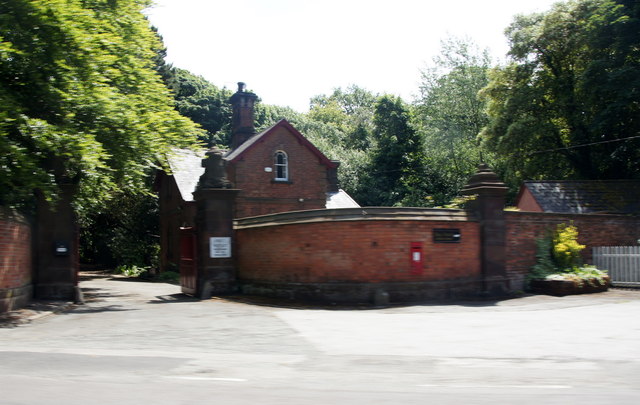
- ✦Historic character is a year-round quality here — summer brings its own atmosphere to the setting
- 🐕Dogs welcome — bring water in summer; the site has enough space to find shade on hot days
🌤️ Visiting this summer
- 🐦76+ species recorded in this area — summer evenings are best for activity; watch for Teal and Lapwing
- ✦Historic character is a year-round quality here — summer brings its own atmosphere to the setting
- 🐕Dogs welcome — bring water in summer; the site has enough space to find shade on hot days
Good to know
- £Free to visit — no entry charge
- 🐕Dogs welcome
Best for
Bird watching
Very strong match
Birds — Teal, Lapwing, Black-headed Gull +73 more · last seen 2026; Birds — Teal, Lapwing, Black-headed Gull +73 more · last seen 2026
Wildlife
Very strong match
Multi-group wildlife — Birds, Mammals; Multi-group wildlife — Birds, Mammals
Heritage
Strong match
Historic site
Trails nearby
Within roughly 5 km🚶Walking
8 signed routes nearby
Signed route nearby
Walking
Trans-Pennine Trail (Southport to Liverpool)Walking route
Sefton Coastal PathWalking route
These popular, well-used, cycle-friendly paths pass through the National Trust site of Formby, connecting the 1.5 miles between Lifeboat Road and Victoria Road car parks.
Asparagus Trail, FormbyWalking route2.8 km
Squirrel Walk, FormbyWalking route500 m
King Charles III England Coast Path: Cleveleys to LiverpoolWalking route
🚴Cycling
74 signed routes nearby
Signed route nearby
Cycling
Waterloo to BootleCycling route
Route 810Cycling route
Trans Pennine TrailCycling route
Main RouteCycling route200 m
Main RouteCycling route16 m
Main RouteCycling route66 m
Wildlife to spot
Photos
Weather for this location
Loading local forecast…
Nearby places
Useful places within 5 km
Own or manage this place?
Claim this listing to keep details accurate, add photos, and highlight what makes it special — free.
Claim this pageHow was your visit?
How useful was the information on this page?
id: 40297d49-26b2-476f-9ec5-54c3e9044246