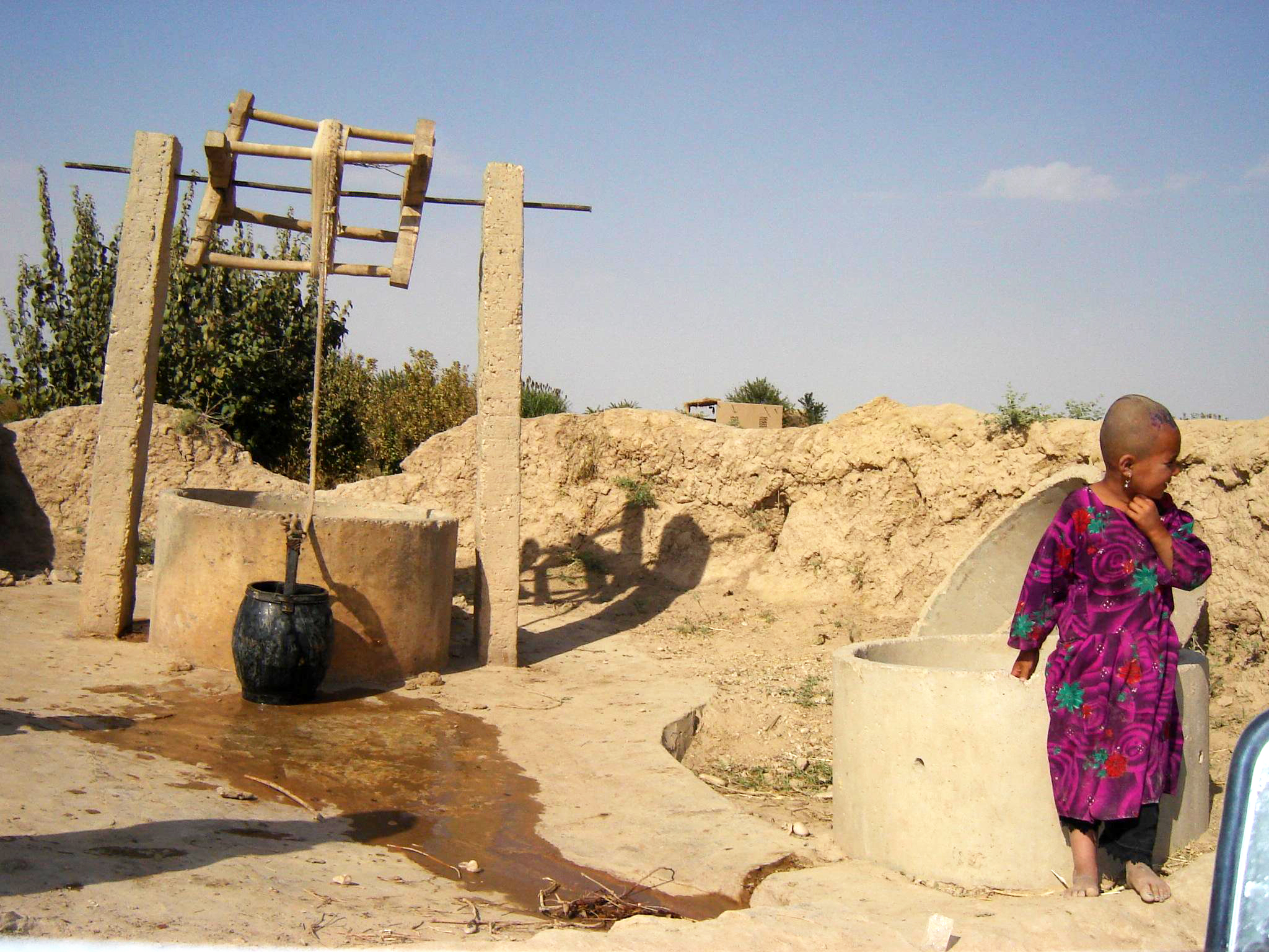
Well
Plan your visit
Getting here
53.83586, -1.69541
Visiting this summer
Seasonal nature notes and what to look for now
Visiting this summer
Seasonal nature notes and what to look for now
- 🐦61+ species recorded in this area — summer evenings are best for activity; watch for Woodpigeon and Carrion Crow
- ✦Historic character is a year-round quality here — summer brings its own atmosphere to the setting
- 🐕Dogs welcome — bring water in summer; the site has enough space to find shade on hot days
🌤️ Visiting this summer
- 🐦61+ species recorded in this area — summer evenings are best for activity; watch for Woodpigeon and Carrion Crow
- ✦Historic character is a year-round quality here — summer brings its own atmosphere to the setting
- 🐕Dogs welcome — bring water in summer; the site has enough space to find shade on hot days
Good to know
- 🐕Dogs welcome
Best for
Bird watching
Very strong match
Birds — Woodpigeon, Carrion Crow, Magpie +58 more · last seen 2025; Birds — Woodpigeon, Carrion Crow, Magpie +58 more · last seen 2025
Wildlife
Very strong match
Multi-group wildlife — Birds, Mammals; Multi-group wildlife — Birds, Mammals
Heritage
Strong match
Historic site
Foraging
Good match
Deciduous woodland — fungi, berries and wild garlic
Seasonal nature
Good match
Plants — Greater Periwinkle, Cuckooflower, Red Bartsia +3 more · last seen 2026; Plants — Greater Periwinkle, Cuckooflower, Red Bartsia +3 more · last seen 2026
Trails nearby
Within roughly 5 km🚶Walking
5 signed routes nearby · 6 public paths nearby
Signed route nearbyPublic paths
Walking
Calverley Millenium WayWalking route
Boundary walk around Calverley
Leeds Country WayWalking route
Airedale WayWalking route
Welcome WayWalking route
Dales Way LinkWalking route
Aire Valley Towpathpublic footpath · 3.2 km
🚴Cycling
40 signed routes nearby
Signed route nearby
Cycling
Route 66Cycling route
Cycle Superhighway 1Cycling route
Armley to Leeds City Centre Core Cycle RouteCycling route
Route 696Cycling route
Main RouteCycling route188 m
Main RouteCycling route201 m
🐴Horse riding
5 public paths nearby
Public paths
Horse riding
Calverley Cuttingbyway open to all traffic · 52 m
Calverley Cuttingbyway open to all traffic · 28 m
Calverley Cuttingbyway open to all traffic · 15 m
Calverley Cuttingbyway open to all traffic · 31 m
Calverley Cuttingbyway open to all traffic · 717 m
Wildlife to spot
Photos
Weather for this location
Loading local forecast…
Nearby places
Useful places within 5 km
Own or manage this place?
Claim this listing to keep details accurate, add photos, and highlight what makes it special — free.
Claim this pageHow was your visit?
How useful was the information on this page?
id: a89c16a7-13b8-4879-bb3c-31babbffd829