Birds — Jackdaw, Woodpigeon, Magpie +66 more · last seen 2025; Birds — Jackdaw, Woodpigeon, Magpie +66 more · last seen 2025
Free
🍂
Seasonal nature
Strong match
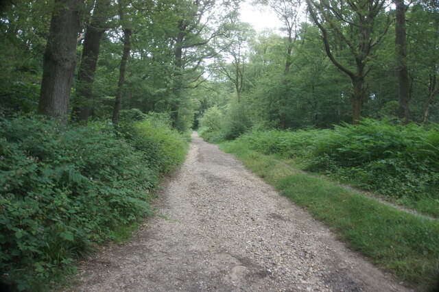
Ancient woodland — bluebells, fungi and autumn colour; Plants — Yorkshire-fog, Dove's-foot Crane's-bill, Dandelion +54 more · last seen 2026
Free
🌿
Foraging
Strong match
Traditional orchard — seasonal fruit, fungi and wild plants; Plants — Dandelion, Common Sorrel, Rough Hawkbit +9 more foraging species
Varies
🐶
Dog walks
Strong match
Dogs allowed — public woodland
Free
🦋
Insect spotting
Strong match
Insects — Banded Demoiselle, Broad-bodied Chaser, Common Darter +34 more · last seen 2026; Insects — Banded Demoiselle, Broad-bodied Chaser, Common Darter +34 more · last seen 2026
Free
Trails nearby
Within roughly 5 km
🚶
Walking
▾
14 signed routes nearby · 57 public paths nearby
Signed route nearbyPublic paths
Old Railway & River LeaWalking route7.9 km▾
After a brief visit to the remains of Wheathampstead railway station, the walk follows the Ayot Greenway (route of the Permanent Way) to Ayot Green. The return journey follows the course of the River Lea.
Named routeLength 7.9 kmRound tripLocal walking route
Lea Valley WalkWalking route▾
Named routePoint-to-pointRegional walking route
Wheathampstead to Shaw's Corner Circular Walk, Shaw's CornerWalking route12.2 km▾
Mostly easy walking across established footpaths and fields. There are some steps along the route, and a steep gully at section 2. Assistance dogs only at Shaw's Corner.
Named routeLength 12.2 kmDuration 03:00Round tripLocal walking route
Hertfordshire WayWalking route267 km▾
Long distance path
Named routeLength 267 kmRegional walking route
Hertfordshire Chain WalkWalking route▾
Not waymarked
Named routeRegional walking route
Monks Walkpublic footpath · 305 m▾
Public pathpublic footpathLength 305 mSurface compactedPath type: bridleway
Garrod Walkpublic footpath · 494 m▾
Public pathpublic footpathLength 494 mPath type: footway
Monks Walkpublic footpath · 30 m▾
Public pathpublic footpathLength 30 mPath type: bridleway
🚴
Cycling
▾
91 signed routes nearby
Signed route nearby
NCN12 proposed reroutingCycling route▾
Named routeRef 12National Cycle Network
Ayot GreenwayCycling route▾
Named route
Route 12Cycling route▾
Named routeRef 12National Cycle Network
Route 61Cycling route34 km▾
Route 61 travels from Maidenhead to Hatfield, Welwyn Garden City and Hertford before arriving near Hoddesdon.
Named routeRef 61Length 34 kmNational Cycle Network
NCN National Route 57Cycling route▾
Named routeRef 57National Cycle Network
Main RouteCycling route52 m▾
Named routeRef 12Length 52 mNational Cycle NetworkTraffic-freeSurface asphalt
🐴
Horse riding
▾
16 public paths nearby
Public paths
Dawson Waybridleway · 6 m▾
Public pathbridlewayLength 6 mSurface concretePath type: bridleway
Dawson Waybridleway · 271 m▾
Public pathbridlewayLength 271 mSurface compactedPath type: bridleway
Dawson Waybridleway · 243 m▾
Public pathbridlewayLength 243 mSurface compactedPath type: bridleway