Plan your visit
Getting here
53.88437, -2.18688
Visiting this summer
Seasonal nature notes and what to look for now
Visiting this summer
Seasonal nature notes and what to look for now
- ☀️June — long evenings and clear skies; one of the most rewarding months for a late visit
- 🐕Early mornings are best for dog walks in summer — visit before 9am to avoid the heat and find quieter trails
- 📍Open access throughout summer — no booking required
🌤️ Visiting this summer
- ☀️June — long evenings and clear skies; one of the most rewarding months for a late visit
- 🐕Early mornings are best for dog walks in summer — visit before 9am to avoid the heat and find quieter trails
- 📍Open access throughout summer — no booking required
Good to know
- £Free to visit — no entry charge
- 🐕Dogs welcome
Best for
Wildlife
Very strong match
Multi-group wildlife — Birds, Mammals; Multi-group wildlife — Birds, Mammals
Bird watching
Very strong match
Birds — Mallard, Great Crested Grebe, Teal +94 more · last seen 2025; Birds — Mallard, Great Crested Grebe, Teal +94 more · last seen 2025
Dog walks
Good match
Dogs allowed with public access
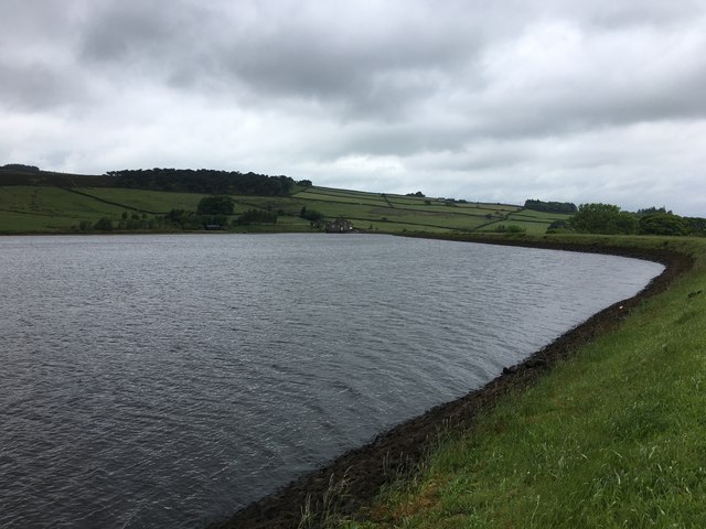
Waterside walks
Good match
Reservoir — waterside public access
Insect spotting
Good match
Insects — Agonum marginatum, Larder Beetle · last seen 2025; Insects — Agonum marginatum, Larder Beetle · last seen 2025
Seasonal nature
Good match
Plants — Common Twayblade, Common Ragwort, Bush Vetch · last seen 2025; Plants — Common Twayblade, Common Ragwort, Bush Vetch · last seen 2025
Trails nearby
Within roughly 5 km🚶Walking
2 signed routes nearby · 30 public paths nearby
Signed route nearbyPublic paths
Walking
Pennine Way (Ickornshaw to Malham)Walking route
Pendle WayWalking route
County Brook Lanepublic footpath · 494 m
County Brook Lanepublic footpath · 600 m
🚴Cycling
54 signed routes nearby
Signed route nearby
Cycling
Pennine CyclewayCycling route
Lancashire Cycleway (Southern Loop)Cycling route
Route 68Cycling route
Main RouteCycling route50 m
N/ACycling route207 m
Main RouteCycling route734 m
🚵Mountain biking
1 signed route nearby
Signed route nearby
Mountain biking
Great North Trail (Yorkshire Dales)Mountain bike route172.2 km
Wildlife to spot
Photos
Weather for this location
Loading local forecast…
Nearby places
Useful places within 5 km
How was your visit?
How useful was the information on this page?
id: 2d26f930-05d8-4c25-8652-925b8ec8f908