Getting here
52.35333, -1.95754
Visiting this summer
Seasonal nature notes and what to look for now
Visiting this summer
Seasonal nature notes and what to look for now
- 🌞Midsummer — early morning visits most comfortable; look for deer fawns in quieter clearings
- ☀️Summer family visits work well here — arrive early and plan for a longer stay
- ☕The Lounge/Youth Club — makes this an easy full-day family visit without needing to pack food
🌤️ Visiting this summer
- 🌞Midsummer — early morning visits most comfortable; look for deer fawns in quieter clearings
- ☀️Summer family visits work well here — arrive early and plan for a longer stay
- ☕The Lounge/Youth Club — makes this an easy full-day family visit without needing to pack food
Good to know
- £Free to visit — no entry charge
- 🐕Dogs welcome
Best for
Wildlife
Very strong match
Multi-group wildlife — Amphibians, Birds, Mammals; Multi-group wildlife — Amphibians, Birds, Mammals
Family friendly
Very strong match
playground, café, toilets
Playgrounds
Very strong match
playground, toilets, café, parking
Bird watching
Very strong match
Birds — Robin, Carrion Crow, Blackbird +68 more · last seen 2025; Birds — Robin, Carrion Crow, Blackbird +68 more · last seen 2025
Picnic day out
Strong match
café, toilets, car park
Dog walks
Strong match
Dogs allowed — public woodland
Trails nearby
Within roughly 5 km🚶Walking
5 signed routes nearby · 15 public paths nearby
Signed route nearbyPublic paths
Walking
Monarch's WayWalking route990 km
approximate route of Charles II's escape
Woodpecker TrailWalking route
Miller's TrailWalking route
Moon's Moat Nature TrailWalking route
Anti-Clockwise
North Worcestershire PathWalking route
The Gauntspublic footpath · 84 m
Bearhill Drivepublic footpath · 22 m
🚴Cycling
52 signed routes nearby
Signed route nearby
Cycling
National Cycle Network Route 5Cycling route
Rea Valley RouteCycling route
NCN 5 section of Rea Valley Route
[PROPOSED]Starley Regional Cycle NetworkCycling route804 km
Starley (TfWM) Regional Cycle Network (Proposed route)
Route 55Cycling route
Bromsgrove-Redditch Cycle Route 24Cycling route
From Bromsgrove Station to Redditch Station. Follows mostly open countryside on road.
Redditch Cycle Route 20Cycling route
Wildlife to spot
Photos
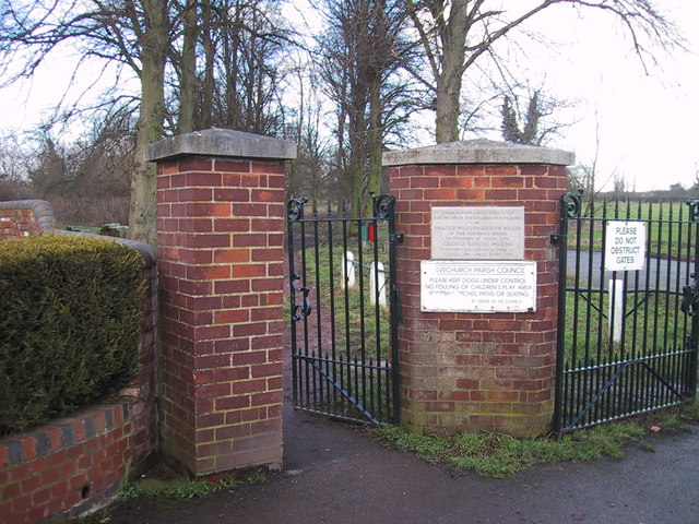
Pedestrian entrance to 'The Meadows' in Alvechurch, Worcestershire.
Weather for this location
Loading local forecast…
Nearby places
Useful places within 5 km
Own or manage this place?
Claim this listing to keep details accurate, add photos, and highlight what makes it special — free.
Claim this pageHow was your visit?
How useful was the information on this page?
id: 8e6d8451-08fb-4356-9822-e6e1b34eb7c6