Birds — Black-headed Gull, Robin, Mallard +66 more · last seen 2026; Birds — Black-headed Gull, Robin, Mallard +66 more · last seen 2026
Free
🦋
Insect spotting
Strong match
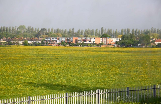
Lowland meadows — marbled white, meadow brown and pollinating insects; Insects — Turnip Moth, Willow Beauty, Large Yellow Underwing +127 more · last seen 2026
Free
🐶
Dog walks
Strong match
Dogs allowed with public access
Free
🥾
Hiking
Good match
Named hiking route nearby: Thames Path
Free
〰
Waterside walks
Good match
Grazing marsh and ditches — waterside walking
Varies
Trails nearby
Within roughly 5 km
🚶
Walking
▾
17 signed routes nearby · 58 public paths nearby
Signed route nearbyPublic paths
Oxford Green Belt WayWalking route87 km▾
Named routeLength 87 kmRegional walking route
Oxfordshire WayWalking route110 km▾
a traverse of Oxfordshire from the Cotswolds to the Chilterns
Named routeRef OWLength 110 kmRegional walking route
Shakespeare's WayWalking route235 km▾
Named routeLength 235 kmRegional walking route
Oxford Canal WalkWalking route▾
Named routeRegional walking route
Ramblers Jubilee Circular WalkWalking route▾
Named routeLocal walking route
Willow Walkpublic footpath · 144 m▾
Public pathpublic footpathLength 144 mPath type: footway
Godstow Roadpublic footpath · 60 m▾
Public pathpublic footpathLength 60 mPath type: residential
Medley Footbridgepublic footpath · 24 m▾
Public pathpublic footpathLength 24 mSurface woodPath type: footway
🚴
Cycling
▾
139 signed routes nearby
Signed route nearby
National Cycle Network Route 5Cycling route▾
Named routeRef 5National Cycle Network
Cotswold Line Cycle Route (under development)Cycling route▾
Named routeRef 442National Cycle Network
Route 8Cycling route▾
Named routeRef 8Local cycle route
Route 8aCycling route▾
Named routeRef 8aLocal cycle route
Route 9Cycling route▾
Named routeRef 9Local cycle route
Route 3aCycling route▾
Named routeRef 3aLocal cycle route
🐴
Horse riding
▾
26 public paths nearby
Public paths
Aristotle Lanebyway open to all traffic · 53 m▾
Public pathbyway open to all trafficLength 53 mSurface asphaltPath type: residential
Joe White’s Lanebridleway · 257 m▾
Public pathbridlewayLength 257 mPath type: track
Joe White’s Lanebridleway · 192 m▾
Public pathbridlewayLength 192 mPath type: track
Aristotle Lanebyway open to all traffic · 18 m▾
Public pathbyway open to all trafficLength 18 mPath type: residential
Aristotle Lanebyway open to all traffic · 10 m▾
Public pathbyway open to all trafficLength 10 mSurface asphaltPath type: residential