Getting here
53.39638, -1.75523
Visiting this summer
Seasonal nature notes and what to look for now
Visiting this summer
Seasonal nature notes and what to look for now
- 🌞Midsummer — early morning visits most comfortable; look for deer fawns in quieter clearings
- 🐕Early mornings are best for dog walks in summer — visit before 9am to avoid the heat and find quieter trails
- 🅿️Parking 181m away — 4 car parks within reach
🌤️ Visiting this summer
- 🌞Midsummer — early morning visits most comfortable; look for deer fawns in quieter clearings
- 🐕Early mornings are best for dog walks in summer — visit before 9am to avoid the heat and find quieter trails
- 🅿️Parking 181m away — 4 car parks within reach
Good to know
- £Free to visit — no entry charge
- 🐕Dogs welcome
- 🌿Ancient woodland — rare wildlife habitat
Best for
Wildlife
Very strong match
Multi-group wildlife — Amphibians, Birds, Mammals, Reptiles; Multi-group wildlife — Amphibians, Birds, Mammals, Reptiles
Bird watching
Very strong match
Birds — Robin, Chaffinch, Blue Tit +69 more · last seen 2026; Birds — Robin, Chaffinch, Blue Tit +69 more · last seen 2026
Seasonal nature
Strong match
Ancient woodland — bluebells, fungi and autumn colour; Plants — Bilberry, Foxglove, Heather +52 more · last seen 2026
Insect spotting
Strong match
Insects — Bilberry Bumblebee, White-tailed Bumblebee, White/Buff-tailed Bumblebee workers +76 more · last seen 2026; Insects — Bilberry Bumblebee, White-tailed Bumblebee, White/Buff-tailed Bumblebee workers +76 more · last seen 2026
Dog walks
Strong match
Dogs allowed — public woodland
Foraging
Strong match
Plants — Bilberry, Hogweed, Wood-sorrel +7 more foraging species; Deciduous woodland — fungi, berries and wild garlic
Trails nearby
Within roughly 5 km🚶Walking
14 signed routes nearby · 1 public path nearby
Signed route nearbyPublic paths
Walking
Derwent Valley Heritage WayWalking route89 km
Derwent Valley and Reservoir Walk,Walking route7.4 km
Ladybower Reservoir, farmland and wooded cloughs. Views of Derwent Valley and High Peak area. Rough walking through fields, woodland paths, roads and open moorland. Dogs must be on leads.
Edale Circular Walk, High PeakWalking route5.4 km
Low level circular walk which includes part of the Pennine Way, following streams and stone-flagged paths. Dogs must be kept on leads.
Crook Hill Circular (Ethel), High PeakWalking route11.5 km
Lost Lad and Back Tor (Ethels), High PeakWalking route12.1 km
🚴Cycling
8 signed routes nearby
Signed route nearby
Cycling
Thornhill TrailCycling route
Route 6Cycling route
Main RouteCycling route252 m
Main RouteCycling route347 m
Main RouteCycling route11 km
Main RouteCycling route27 m
🚵Mountain biking
1 signed route nearby
Signed route nearby
Mountain biking
Great North Trail (Peak District and South Pennines)Mountain bike route130.4 km
🐴Horse riding
17 public paths nearby
Public paths
Horse riding
No named routes yet. Public paths are shown on the map.
Wildlife to spot
Photos
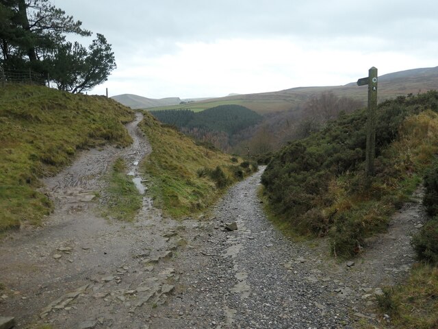
Bridleway junction, between Hagg Side and Woodcock Coppice
Weather for this location
Loading local forecast…
Nearby places
Useful places within 5 km
Own or manage this place?
Claim this listing to keep details accurate, add photos, and highlight what makes it special — free.
Claim this pageHow was your visit?
How useful was the information on this page?
id: c77349d4-8554-48f3-a9d9-9afc78c393a9