Woodside Cemetery
Getting here
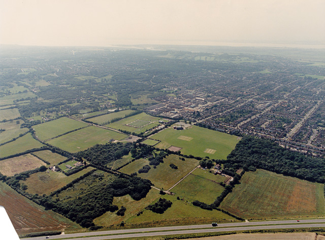
51.57728, 0.56397
Visiting this summer
Seasonal nature notes and what to look for now
Visiting this summer
Seasonal nature notes and what to look for now
- 🌞Midsummer — early morning visits most comfortable; look for deer fawns in quieter clearings
- ☀️Summer family visits work well here — arrive early and plan for a longer stay
- 🛝Playground 185m away — built-in entertainment for younger visitors alongside the wider site
🌤️ Visiting this summer
- 🌞Midsummer — early morning visits most comfortable; look for deer fawns in quieter clearings
- ☀️Summer family visits work well here — arrive early and plan for a longer stay
- 🛝Playground 185m away — built-in entertainment for younger visitors alongside the wider site
Good to know
- £Free to visit — no entry charge
- 🐕Dogs welcome
Best for
Wildlife
Very strong match
Multi-group wildlife — Amphibians, Birds, Mammals, Reptiles; Multi-group wildlife — Amphibians, Birds, Mammals, Reptiles
Bird watching
Very strong match
Birds — Woodpigeon, Carrion Crow, Black-headed Gull +62 more · last seen 2025; Birds — Woodpigeon, Carrion Crow, Black-headed Gull +62 more · last seen 2025
Insect spotting
Strong match
Insects — 7-spot Ladybird, Common Red Soldier Beetle, Box Tree Moth +136 more · last seen 2026; Insects — 7-spot Ladybird, Common Red Soldier Beetle, Box Tree Moth +136 more · last seen 2026
Playgrounds
Strong match
playground
Family friendly
Good match
playground
Dog walks
Good match
Dogs allowed with public access
Trails nearby
Within roughly 5 km🚶Walking
5 signed routes nearby · 2 public paths nearby
Signed route nearbyPublic paths
Walking
Accessible Route, Rayleigh MountWalking route600 m
Gravel path with inclines around Rayleigh Mount. AccessAble: https://www.accessable.co.uk/national-trust/access-guides/rayleigh-mount-the-mount-national-trust
Blue WalkWalking route
Thames Estuary PathWalking route46.6 km
King Charles III England Coast Path: Tilbury to Southend-on-SeaWalking route
Southend RingWalking route
🚴Cycling
4 signed routes nearby
Signed route nearby
Cycling
National Cycle Route 16 (proposed)Cycling route
National Cycle Route 16Cycling route
Main RouteCycling route1.6 km
Main RouteCycling route41 m
🐴Horse riding
15 public paths nearby
Public paths
Horse riding
Windermere Roadbridleway · 418 m
Coniston Roadbridleway · 307 m
Keswick Roadbridleway · 323 m
Windermere Roadbridleway · 297 m
Windermere Roadbridleway · 55 m
Wildlife to spot
Photos
Weather for this location
Loading local forecast…
Nearby places
Useful places within 5 km
Own or manage this place?
Claim this listing to keep details accurate, add photos, and highlight what makes it special — free.
Claim this pageHow was your visit?
How useful was the information on this page?
id: 5cd4d421-c969-42e8-aa3b-cc53a212bdc0