Getting here
50.96645, -0.28837
Visiting this summer
Seasonal nature notes and what to look for now
Visiting this summer
Seasonal nature notes and what to look for now
- 🌞Midsummer — early morning visits most comfortable; look for deer fawns in quieter clearings
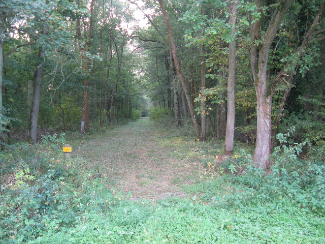
- 🐕Early mornings are best for dog walks in summer — visit before 9am to avoid the heat and find quieter trails
- 📍Open access throughout summer — no booking required
🌤️ Visiting this summer
- 🌞Midsummer — early morning visits most comfortable; look for deer fawns in quieter clearings
- 🐕Early mornings are best for dog walks in summer — visit before 9am to avoid the heat and find quieter trails
- 📍Open access throughout summer — no booking required
Good to know
- £Free to visit — no entry charge
- 🐕Dogs welcome
Best for
Wildlife
Very strong match
Multi-group wildlife — Birds, Mammals, Reptiles; Multi-group wildlife — Birds, Mammals, Reptiles
Bird watching
Very strong match
Birds — Woodpigeon, Blue Tit, Robin +68 more · last seen 2025; Birds — Woodpigeon, Blue Tit, Robin +68 more · last seen 2025
Seasonal nature
Strong match
Plants — Tufted Vetch, Pignut, Ground-ivy +74 more · last seen 2025; Plants — Tufted Vetch, Pignut, Ground-ivy +74 more · last seen 2025
Dog walks
Strong match
Dogs allowed — public woodland
Foraging
Strong match
Plants — Common Sorrel, Bristly Oxtongue, Sheep's Sorrel +8 more foraging species; Deciduous woodland — fungi, berries and wild garlic
Insect spotting
Strong match
Insects — Banded Demoiselle, Azure Damselfly, Scarce Chaser +31 more · last seen 2025; Insects — Banded Demoiselle, Azure Damselfly, Scarce Chaser +31 more · last seen 2025
Trails nearby
Within roughly 5 km🚶Walking
6 signed routes nearby · 10 public paths nearby
Signed route nearbyPublic paths
Walking
Sussex Diamond WayWalking route97 km
Downs LinkWalking route59 km
A 37 mile shared route for walkers, horse riders and cyclists linking the North Downs Way with the South Downs Way
Red RouteWalking route
Knepp Wildland Red RouteWalking route
Knepp Wildland Yellow RouteWalking route
🚴Cycling
15 signed routes nearby
Signed route nearby
Cycling
Route 223Cycling route
Main RouteCycling route3.6 km
Main RouteCycling route547 m
Main RouteCycling route2.6 km
Main RouteCycling route1.9 km
Main RouteCycling route35 m
🐴Horse riding
5 public paths nearby
Public paths
Horse riding
Greentree Lanebridleway · 155 m
Greentree Lanebridleway · 622 m
Greentree Lanebridleway · 377 m
Wildlife to spot
Photos
Weather for this location
Loading local forecast…
Nearby places
Useful places within 5 km
Own or manage this place?
Claim this listing to keep details accurate, add photos, and highlight what makes it special — free.
Claim this pageHow was your visit?
How useful was the information on this page?
id: 84e8aaac-46cf-4fa2-97d7-f7626e42db1c