Getting here
52.05957, 0.68178
Visiting this summer
Seasonal nature notes and what to look for now
Visiting this summer
Seasonal nature notes and what to look for now
- 🌞Midsummer — early morning visits most comfortable; look for deer fawns in quieter clearings
- 🐕Early mornings are best for dog walks in summer — visit before 9am to avoid the heat and find quieter trails
- 📍Open access throughout summer — no booking required
🌤️ Visiting this summer
- 🌞Midsummer — early morning visits most comfortable; look for deer fawns in quieter clearings
- 🐕Early mornings are best for dog walks in summer — visit before 9am to avoid the heat and find quieter trails
- 📍Open access throughout summer — no booking required
Good to know
- £Free to visit — no entry charge
- 🐕Dogs welcome
Best for
Dog walks
Strong match
Dogs allowed — public woodland
Forest walks
Good match
Public woodland
Wildlife
Weak signal
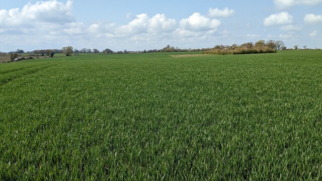
Conifer plantation — limited but present wildlife
Trails nearby
Within roughly 5 km🚶Walking
15 signed routes nearby · 17 public paths nearby
Signed route nearbyPublic paths
Walking
Suffolk Threads Heritage TrailWalking route
Gainsborough Trail Meadow WalkWalking route
Melford Hall to Sudbury Mill Walk, Melford HallWalking route8.8 km
Field paths, tree roots, grassland. May be muddy - suitable footwear necessary. Not suitable for wheelchairs. Pushchairs possible in dry weather. Some gates. Cross the busy A134 with extreme care.
Windmill Hill Walk, Melford HallWalking route6 km
Easy walking along distinct dirt or grassy paths and fields, with a couple of stiles at the end. May be muddy after wet weather, so boots may be required. Special care is needed when crossing the busy A1092 and walking along the B1066.
Lavenham to Long Melford Railway Walk, Lavenham GuildhallWalking route7.2 km
Dasy walk from Lavenham to Long Melford, through woods and open fields, following the route of the old Great Eastern Railway line. You can return to Lavenham by bus, or re-trace your steps if you are able. Can be muddy and waterlogged through SSSI.
🚴Cycling
25 signed routes nearby
Signed route nearby
Cycling
South Suffolk Cycle Route A1Cycling route
South Suffolk Cycle Route ACycling route
South Suffolk Cycle Route A2 (Bures Loop)Cycling route
Route 13Cycling route
Wolf WayCycling route400 km
N/ACycling route131 m
🐴Horse riding
3 public paths nearby
Public paths
Horse riding
Brook Hall Lane Northbridleway · 687 m
Brook Hall Lane Northbridleway · 179 m
Brook Hall Lane Northbridleway · 279 m
Wildlife to spot
Photos
Weather for this location
Loading local forecast…
Nearby places
Useful places within 5 km
Own or manage this place?
Claim this listing to keep details accurate, add photos, and highlight what makes it special — free.
Claim this pageHow was your visit?
How useful was the information on this page?
id: a5f238f5-7d12-4a7f-a221-6e08ef2bd58a