Plan your visit
Getting here
52.40053, 0.19568
Visiting this summer
Seasonal nature notes and what to look for now
Visiting this summer
Seasonal nature notes and what to look for now
- 🌞Midsummer — early morning visits most comfortable; look for deer fawns in quieter clearings
- 🐕Early mornings are best for dog walks in summer — visit before 9am to avoid the heat and find quieter trails
- 📍Open access throughout summer — no booking required
🌤️ Visiting this summer
- 🌞Midsummer — early morning visits most comfortable; look for deer fawns in quieter clearings
- 🐕Early mornings are best for dog walks in summer — visit before 9am to avoid the heat and find quieter trails
- 📍Open access throughout summer — no booking required
Good to know
- £Free to visit — no entry charge
- 🐕Dogs welcome
Best for
Dog walks
Strong match
Dogs allowed — public woodland
Horse riding
Strong match
Horse riding listed as facility
Forest walks
Good match
Public woodland
Wildlife
Weak signal
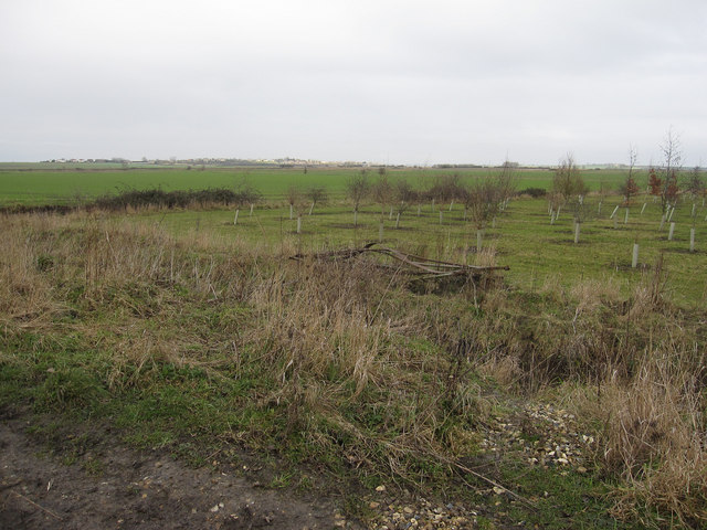
Conifer plantation — limited but present wildlife
Trails nearby
Within roughly 5 km🚶Walking
5 signed routes nearby · 1 public path nearby
Signed route nearbyPublic paths
Walking
Via BeataWalking route
A pilgrimage with a difference... with a dream to span Great Britain from Lowestoft to St Davids.
Hereward WayWalking route
The Bishop's WayWalking route14 km
Fen Rivers Way (Cambridge to Ely)Walking route
Ouse Valley Way 3 (Eaton Socon to Brandon Creek)Walking route
Straight Drovepublic footpath · 626 m
🚴Cycling
44 signed routes nearby
Signed route nearby
Cycling
NCN National Route 11Cycling route
National Byway (through Ely)Cycling route
Main RouteCycling route15 m
Alternative RouteCycling route8 m
Main RouteCycling route22 m
Main RouteCycling route306 m
🐴Horse riding
7 public paths nearby
Public paths
Horse riding
Old Fen Drovebyway open to all traffic · 945 m
Marroway Lanebyway open to all traffic · 1.1 km
Marroway Lanebyway open to all traffic · 9 m
Marroway Lanebyway open to all traffic · 3 m
New Drovebyway open to all traffic · 565 m
Wildlife to spot
Photos
Weather for this location
Loading local forecast…
Nearby places
Useful places within 5 km
Own or manage this place?
Claim this listing to keep details accurate, add photos, and highlight what makes it special — free.
Claim this pageHow was your visit?
How useful was the information on this page?
id: 7bd58923-adb7-46f4-8e69-0f04dc39275b