Getting here
52.59659, -1.76210
Visiting this summer
Seasonal nature notes and what to look for now
Visiting this summer
Seasonal nature notes and what to look for now
- 🌞Midsummer — early morning visits most comfortable; look for deer fawns in quieter clearings
- 🐕Early mornings are best for dog walks in summer — visit before 9am to avoid the heat and find quieter trails
- 📍Open access throughout summer — no booking required
🌤️ Visiting this summer
- 🌞Midsummer — early morning visits most comfortable; look for deer fawns in quieter clearings
- 🐕Early mornings are best for dog walks in summer — visit before 9am to avoid the heat and find quieter trails
- 📍Open access throughout summer — no booking required
Good to know
- £Free to visit — no entry charge
- 🐕Dogs welcome
Best for
Dog walks
Strong match
Dogs allowed — public woodland
Forest walks
Good match
Public woodland
Wildlife
Weak signal
Conifer plantation — limited but present wildlife
Trails nearby
Within roughly 5 km🚶Walking
9 signed routes nearby
Signed route nearby
Walking
Heart of England WayWalking route
Centenary WayWalking route
Sutton Park Archeology Walk 5: Blackroot BistroWalking route
Most of Sutton Park is a Scheduled Ancient Monument and contains archaeological remains. This trail, one of six in the park, is via an 18th-century racecourse and golf course, medieval deer park, and quarry created for an 18th-century mill pond dam.
The Tame Way- Canal RouteWalking route19 km
Explore the views, history and wildlife of the Tame Valley Wetlands. Stretching between Birmingham and Tamworth is an extraordinary hidden landscape on the doorstep of over 1 million people. Sister walk to a river walk also ending at Hopwas. Duration ~5h
E2 hiking trail BirminghamWalking route
🚴Cycling
40 signed routes nearby
Signed route nearby
Cycling
Northern Warwickshire CyclewayCycling route
National Cycle Network Route 534Cycling route
New Hall Valley Cycle RouteCycling route
Connect2Cycling route
[PROPOSED]Starley Regional Cycle NetworkCycling route804 km
Starley (TfWM) Regional Cycle Network (Proposed route)
Main RouteCycling route445 m
🐴Horse riding
2 public paths nearby
Public paths
Horse riding
Shirral Drivebridleway · 722 m
Shirrall Drivebridleway · 723 m
Wildlife to spot
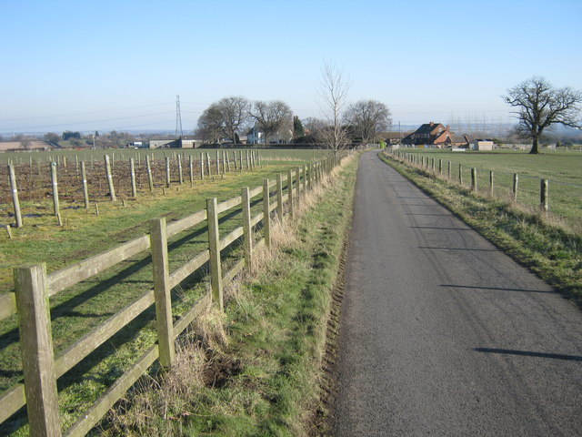
Photos
Weather for this location
Loading local forecast…
Nearby places
Useful places within 5 km
Own or manage this place?
Claim this listing to keep details accurate, add photos, and highlight what makes it special — free.
Claim this pageHow was your visit?
How useful was the information on this page?
id: fb0a12fa-ab7b-4e55-a5ef-dd2ebd7507c9