Plan your visit
Getting here
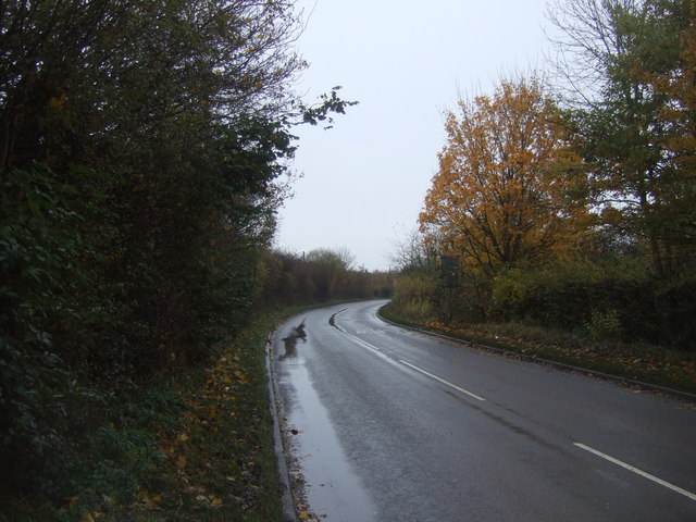
52.64271, -2.03513
Visiting this summer
Seasonal nature notes and what to look for now
Visiting this summer
Seasonal nature notes and what to look for now
- 🌞Midsummer — early morning visits most comfortable; look for deer fawns in quieter clearings
- 🌿Foraging is at its best in summer here
- 🐕Dogs welcome — bring water in summer; the site has enough space to find shade on hot days
🌤️ Visiting this summer
- 🌞Midsummer — early morning visits most comfortable; look for deer fawns in quieter clearings
- 🌿Foraging is at its best in summer here
- 🐕Dogs welcome — bring water in summer; the site has enough space to find shade on hot days
Good to know
- £Free to visit — no entry charge
- 🐕Dogs welcome
Best for
Wildlife
Strong match
Deciduous woodland priority habitat
Bird watching
Strong match
Deciduous woodland — woodpeckers, warblers and woodland birds
Foraging
Good match
Deciduous woodland — fungi, berries and wild garlic
Forest walks
Moderate match
Public woodland
Trails nearby
Within roughly 5 km🚶Walking
9 signed routes nearby
Signed route nearby
Walking
Monarch's WayWalking route990 km
approximate route of Charles II's escape
Four Commons WalkWalking route9.5 km
Circular route following the Wyrley & Essington Canal to Clayhanger Common – one of Walsall’s much-loved areas of green, open space. Distance: 6 miles/9.5 km(approx) Duration: 120 mins(approx)
Northycote Farm to Moseley Old Hall Walk, Moseley Old HallWalking route4.8 km
Trace the footsteps of a king as you join up with the Monarch's Way in the West Midlands. This route runs along fairly flat, woodland paths that can become muddy, as well as grassy fields and made tracks.
Clayhanger Common WalkWalking route9.5 km
Short, circular route following the Wyrley & Essington Canal to Clayhanger Common – one of Walsall’s much-loved areas of green, open space. Distance: 6 miles/9.5 km(approx) Duration: 120 mins(approx)
Beacon WayWalking route40 km
Starting at Sandwell Valley via the outskirts of Birmingham and the countryside of Walsall into Staffordshire. Take in the Forest of Mercia, lakes, nature reserves, woods, and canal banks. Named after Barr Beacon, one of the highest hills in this area.
🚴Cycling
19 signed routes nearby
Signed route nearby
Cycling
Sneyd Junction to Pudding Green JunctionCycling route16 km
Canalside route passing through the heartlands of the industrial Black Country. Decends using the Walsall locks then rises at Ryders Green Locks. Distance: 10 miles/16 km (approx) Duration: 90 min (approx)
McClean WayCycling route
[PROPOSED]Starley Regional Cycle NetworkCycling route804 km
Starley (TfWM) Regional Cycle Network (Proposed route)
Sneyd Junction to Cannock Extension CanalCycling route8.8 km
A semi-rural route following the curves of the canal, until it opens out into parkland at the Cannock Extension. Distance: 5.5 miles/8.8 km (approx) Duration: 45 min (approx)
Cannock Extension Canal to Longwood JunctionCycling route11.2 km
Canalside route leading past Clayhanger Common and through Rushall, with a pub along the way. Distance: 7 miles/11.2 km (approx) Duration: 60 min (approx)
Sneyd Junction to Horseley Fields JunctionCycling route9.6 km
Canalside route following the Wyrley & Essington, taking New Cross Bridge, where the towpath changes to the other side of the canal. Distance: 6 miles/9.6 km (approx) Duration: 60 min (approx)
Wildlife to spot
Photos
Weather for this location
Loading local forecast…
Nearby places
Useful places within 5 km
Own or manage this place?
Claim this listing to keep details accurate, add photos, and highlight what makes it special — free.
Claim this pageHow was your visit?
How useful was the information on this page?
id: 0a85d16d-5dbf-4715-a9e9-498c6799afad