Getting here
54.55001, -3.53273
Visiting this summer
Seasonal nature notes and what to look for now
Visiting this summer
Seasonal nature notes and what to look for now
- 🌞Midsummer — early morning visits most comfortable; look for deer fawns in quieter clearings
- 🐕Early mornings are best for dog walks in summer — visit before 9am to avoid the heat and find quieter trails
- 🅿️Parking 118m away — 2 car parks within reach
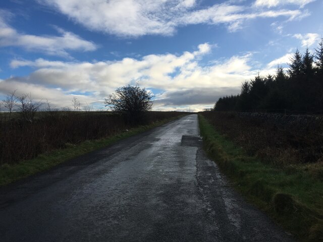
🌤️ Visiting this summer
- 🌞Midsummer — early morning visits most comfortable; look for deer fawns in quieter clearings
- 🐕Early mornings are best for dog walks in summer — visit before 9am to avoid the heat and find quieter trails
- 🅿️Parking 118m away — 2 car parks within reach
Good to know
- £Free to visit — no entry charge
- 🐕Dogs welcome
Best for
Dog walks
Strong match
Dogs allowed — public woodland
Forest walks
Good match
Public woodland
Wildlife
Weak signal
Conifer plantation — limited but present wildlife
Trails nearby
Within roughly 5 km🚶Walking
4 signed routes nearby
Signed route nearby
Walking
King Charles III England Coast Path: Allonby to WhitehavenWalking route
Coast to Coast Walk (St Bees to Shap)Walking route
King Charles III England Coast Path: Whitehaven to SilecroftWalking route
Whitehaven Colourful Coastal Walk, North Lakes OutdoorsWalking route11.2 km
This dramatic clifftop walk starts at Whitehaven’s historic 17th-century harbour, passing the town’s industrial archaeology to join Wainwright’s Coast to Coast path. Easy terrain although some uneven and narrow sections with short but steep climbs.
🚴Cycling
47 signed routes nearby
Signed route nearby
Cycling
Hadrian's CyclewayCycling route
Route 7Cycling route
Main RouteCycling route641 m
Main RouteCycling route17 m
Main RouteCycling route378 m
Main RouteCycling route3.5 km
🐴Horse riding
1 public path nearby
Public paths
Horse riding
No named routes yet. Public paths are shown on the map.
Wildlife to spot
Photos
Weather for this location
Loading local forecast…
Nearby places
Useful places within 5 km
Own or manage this place?
Claim this listing to keep details accurate, add photos, and highlight what makes it special — free.
Claim this pageHow was your visit?
How useful was the information on this page?
id: e1610999-1c28-42de-8482-ee33bcb9fed4