Plan your visit
🦅Birds🦉Wildlife🐶Dogs
Public accessFree entryDogs welcome6 ha
Getting here
52.06603, 1.40507
Open directionsv
Visiting this summer
Seasonal nature notes and what to look for now
- 🐦62+ species recorded in this area — summer evenings are best for activity; watch for Woodpigeon and Carrion Crow
- 🐕Early mornings are best for dog walks in summer — visit before 9am to avoid the heat and find quieter trails
- 📍Open access throughout summer — no booking required
🌤️ Visiting this summer
- 🐦62+ species recorded in this area — summer evenings are best for activity; watch for Woodpigeon and Carrion Crow
- 🐕Early mornings are best for dog walks in summer — visit before 9am to avoid the heat and find quieter trails
- 📍Open access throughout summer — no booking required
- £Free to visit — no entry charge
- 🐕Dogs welcome
🦅Bird watching
Very strong match
Birds — Woodpigeon, Carrion Crow, Stonechat +59 more · last seen 2026
Free
Birds — Woodpigeon, Carrion Crow, Stonechat +59 more · last seen 2026; Conifer plantation — limited but present wildlife
Free
Dogs allowed — public woodland
Free
🦋Insect spotting
Strong match
Insects — Common Darter, Nalassus laevioctostriatus, Green Tiger Beetle +15 more · last seen 2025
Free
🍂Seasonal nature
Good match
Plants — Bell Heather, Hedge Mustard, Viper's-bugloss +4 more · last seen 2026
Free
Trails nearby
Within roughly 5 km9 signed routes nearby
Signed route nearby
Sandlings WalkWalking route89 km▾
Southwold to Rushmere Heath on the outskirts of Ipswich
Named routeLength 89 kmRegional walking route
Suffolk Coast PathWalking route80 km▾
Named routeLength 80 kmRegional walking route
Rendlesham Forest UFO TrailWalking route▾
Named routeLocal walking route
Route to the Royal Burial Ground and Viewing Tower (Purple Route), Sutton HooWalking route2.1 km▾
Not suitable for wheelchairs or mobility vehicles.
https://www.accessable.co.uk/national-trust/sutton-hoo-national-trust
Named routeLength 2.1 kmDuration 00:45Round tripLocal walking route
Accessible Route to the Royal Burial Ground (Yellow Route), Sutton HooWalking route1.8 km▾
https://www.accessable.co.uk/national-trust/sutton-hoo-national-trust
Named routeLength 1.8 kmDuration 00:30Round tripLocal walking route
2 signed routes nearby
Signed route nearby
Route 41Cycling route▾
Named routeRef 41Regional cycle route
Wolf WayCycling route400 km▾
Named routeRef Wolf WayLength 400 kmRound tripLocal cycle route
1 signed route nearby
Signed route nearby
Tang TrailMountain bike route▾
Named routeLocal cycle route
1 public path nearby
Public paths
No named routes yet. Public paths are shown on the map.
Photos
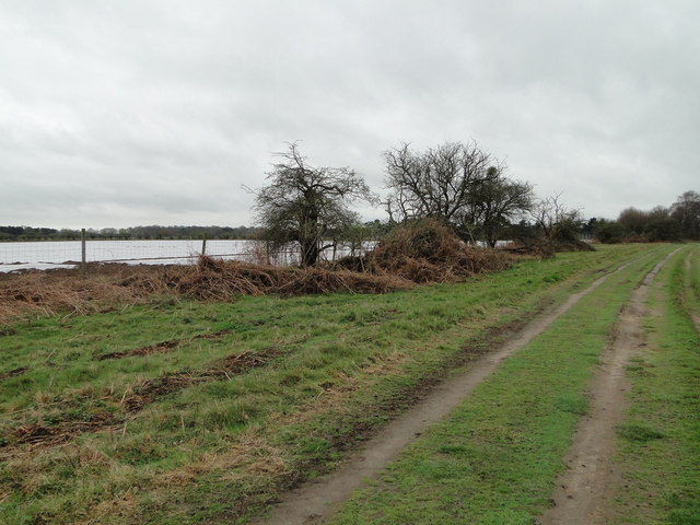
Looking towards Aerodrome Plantation
Weather for this location
Next 14 daysNearby places
Useful places within 5 km
Events & activities nearby
Switch provider to compare local events, tours and bookable activities.
Wildlife to spot
16,056 records · National Biodiversity Network
Wildlife to spot
16,056 records · National Biodiversity NetworkRobin · Carrion Crow · Stonechat · Coal Tit · Yellowhammer +36
- RobinErithacus rubecula
- Carrion CrowCorvus corone2025
- StonechatSaxicola rubicola2025
- Coal TitPeriparus ater2025
- YellowhammerEmberiza citrinella2025
- Brown ShrikeLanius cristatus2025
- WrenTroglodytes troglodytes2025
- Blue TitCyanistes caeruleus2025
- PheasantPhasianus colchicus
- BlackbirdTurdus merula
- ChaffinchFringilla coelebs2025
- WoodpigeonColumba palumbus2025
- Meadow PipitAnthus pratensis2025
- SkylarkAlauda arvensis2025
- GoldcrestRegulus regulus2025
- KestrelFalco tinnunculus2025
- Long-tailed TitAegithalos caudatus2025
- RookCorvus frugilegus2025
- Black-headed GullChroicocephalus ridibundus2025
- CrossbillLoxia curvirostra2025
- StarlingSturnus vulgaris2025
- Herring GullLarus argentatus2025
- JackdawColoeus monedula2025
- DunnockPrunella modularis2025
- JayGarrulus glandarius2025
- Green WoodpeckerPicus viridis2025
- Great TitParus major2025
- Pied WagtailMotacilla alba yarrellii2025
- Stock DoveColumba oenas2025
- Lesser Black-backed GullLarus fuscus2025
- MagpiePica pica2025
- Green SandpiperTringa ochropus2025
- FieldfareTurdus pilaris2025
- Common GullLarus canus2025
- BramblingFringilla montifringilla2025
- GreenfinchChloris chloris2025
- GoldfinchCarduelis carduelis2025
- SiskinSpinus spinus2025
- Mistle ThrushTurdus viscivorus2025
- TreecreeperCerthia familiaris2025
- Great Spotted WoodpeckerDendrocopos major2025
Grey Squirrel · Fallow Deer · Wood Mouse · Badger · Red Fox +3
- Grey SquirrelSciurus carolinensis
- Fallow DeerDama dama
- Wood MouseApodemus sylvaticus
- BadgerMeles meles
- Red FoxVulpes vulpes
- Brown RatRattus norvegicus
- MuntjacMuntiacus reevesi
Nalassus laevioctostriatus · Laemostenus terricola · Oak Bush-cricket · Bronze Shieldbug
- Nalassus laevioctostriatusNalassus laevioctostriatus
- Laemostenus terricolaLaemostenus terricola
- Oak Bush-cricketMeconema thalassinum
- Bronze ShieldbugTroilus luridus
Bell Heather
- Bell HeatherErica cinerea
Species observations from the last 10 years via NBN Atlas