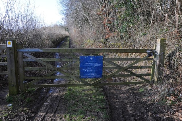
Getting here
51.72087, -2.09211
Visiting this summer
Seasonal nature notes and what to look for now
Visiting this summer
Seasonal nature notes and what to look for now
- 🌞Midsummer — early morning visits most comfortable; look for deer fawns in quieter clearings
- 🐕Early mornings are best for dog walks in summer — visit before 9am to avoid the heat and find quieter trails
- 📍Open access throughout summer — no booking required
🌤️ Visiting this summer
- 🌞Midsummer — early morning visits most comfortable; look for deer fawns in quieter clearings
- 🐕Early mornings are best for dog walks in summer — visit before 9am to avoid the heat and find quieter trails
- 📍Open access throughout summer — no booking required
Good to know
- £Free to visit — no entry charge
- 🐕Dogs welcome
Best for
Wildlife
Very strong match
Multi-group wildlife — Amphibians, Birds, Mammals, Reptiles; Multi-group wildlife — Amphibians, Birds, Mammals, Reptiles
Bird watching
Very strong match
Birds — Wren, Robin, Great Tit +60 more · last seen 2026; Birds — Wren, Robin, Great Tit +60 more · last seen 2026
Insect spotting
Strong match
Insects — Meadow Brown, Ringlet, Marbled White +67 more · last seen 2025; Insects — Meadow Brown, Ringlet, Marbled White +67 more · last seen 2025
Dog walks
Strong match
Dogs allowed — public woodland
Foraging
Good match
Deciduous woodland — fungi, berries and wild garlic
Forest walks
Good match
Public woodland
Trails nearby
Within roughly 5 km🚶Walking
5 signed routes nearby · 20 public paths nearby
Signed route nearbyPublic paths
Walking
Monarch's WayWalking route990 km
approximate route of Charles II's escape
Macmillan WayWalking route290 km
Wysis WayWalking route88.5 km
Long distance footpath forming a link between the Thames and the Wye
Thames PathWalking route296 km
Thames & Severn WayWalking route69.8 km
Linking the Severn to the Thames following the route of the Stroudwater Navigation and Thames & Severn Canal as closely as possible using public rights of way. As the canals are restored, it will be updated to use the reinstated towpath wherever possible.
🚴Cycling
12 signed routes nearby
Signed route nearby
Cycling
Mercian WayCycling route
National BywayCycling route
Fosse2Cycling route
Cotswold CyclewayCycling route
Main RouteCycling route33 m
Main RouteCycling route773 m
🐴Horse riding
1 public path nearby
Public paths
Horse riding
The Broad Ridebridleway · 1.2 km
Wildlife to spot
Photos
Weather for this location
Loading local forecast…
Nearby places
Useful places within 5 km
Own or manage this place?
Claim this listing to keep details accurate, add photos, and highlight what makes it special — free.
Claim this pageHow was your visit?
How useful was the information on this page?
id: a3ace029-4ff8-467e-a1bf-48d29c6c5513