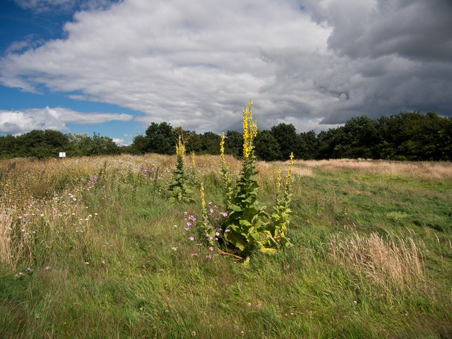
Ashenbury Park
Getting here
51.46186, -0.88564
Visiting this summer
Seasonal nature notes and what to look for now
Visiting this summer
Seasonal nature notes and what to look for now
- 🐦69+ species recorded in this area — summer evenings are best for activity; watch for Coot and Grey Heron
- 🧺Good picnic destination in summer — open space and facilities for a relaxed day out
- 🛝Playground 293m away — built-in entertainment for younger visitors alongside the wider site
🌤️ Visiting this summer
- 🐦69+ species recorded in this area — summer evenings are best for activity; watch for Coot and Grey Heron
- 🧺Good picnic destination in summer — open space and facilities for a relaxed day out
- 🛝Playground 293m away — built-in entertainment for younger visitors alongside the wider site
Good to know
- £Free to visit — no entry charge
- 🐕Dogs welcome
Best for
Bird watching
Very strong match
Birds — Coot, Grey Heron, Canada Goose +66 more · last seen 2026; Birds — Coot, Grey Heron, Canada Goose +66 more · last seen 2026
Wildlife
Very strong match
Multi-group wildlife — Birds, Mammals; Multi-group wildlife — Birds, Mammals
Picnic day out
Strong match
picnic area, car park; Urban park — open green space
Family friendly
Strong match
playground, picnic area; Urban park — family destination
Playgrounds
Strong match
playground, parking
Dog walks
Strong match
Dogs allowed with public access
Trails nearby
Within roughly 5 km🚶Walking
5 signed routes nearby · 3 public paths nearby
Signed route nearbyPublic paths
Walking
European walking route E2 west, UK, South East EnglandWalking route
Westroute: Stranraer (UK) - Birminhgham (UK) - Calais (FR) - Zoersel (BE) / Eastroute: Stranraer (UK) - Harwich (UK) - Rotterdam (NL) - Zoersel (BE) / Both Routes: Zoersel (BE) - Maastrich (NL) - Luxembourg (LUX) - Lake Geneva (CH) - Nice (FR)
Kennet and Avon Canal TrailWalking route140 km
Rivers linked by a canal. The name refers to the entire navigable length. From Bristol the way is the Avon. The canal is from Bath to Newbury. From there to Reading the way is the Kennet. 53 locks to Summit Pound (150 m asl) and 54 down to Reading.
The Wokingham WayWalking route
Thames PathWalking route296 km
Greenway Route BWalking route
Giddy Bridgepublic footpath · 18 m
🚴Cycling
69 signed routes nearby
Signed route nearby
Cycling
National Cycle Network Route 5Cycling route
Route 19Cycling route
Link to NCN 4Cycling route
Woodley, EarleyCycling route
Route CR5Cycling route
Earley Useful Cycle RoutesCycling route
🚵Mountain biking
1 signed route nearby
Signed route nearby
Mountain biking
King Alfred's WayMountain bike route
King Alfreds Way is 350km (220 miles) off road route designed to be ridden clockwise. It starts & ends in Winchester. It is suitable for gravel or cross-country bikes.
🐴Horse riding
1 public path nearby
Public paths
Horse riding
No named routes yet. Public paths are shown on the map.
Wildlife to spot
Photos
Weather for this location
Loading local forecast…
Nearby places
Useful places within 5 km
Own or manage this place?
Claim this listing to keep details accurate, add photos, and highlight what makes it special — free.
Claim this pageHow was your visit?
How useful was the information on this page?
id: 18b2aa8b-745d-4a3c-b2ea-b98fe9b4d275