🌞Midsummer — early morning visits most comfortable; look for deer fawns in quieter clearings
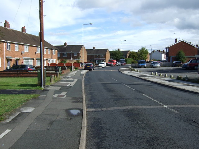
🥾Walking is best here in early morning in summer — quiet trails and good light before the heat
🐕Dogs welcome — bring water in summer; the site has enough space to find shade on hot days
🌤️ Visiting this summer
🌞Midsummer — early morning visits most comfortable; look for deer fawns in quieter clearings
🥾Walking is best here in early morning in summer — quiet trails and good light before the heat
🐕Dogs welcome — bring water in summer; the site has enough space to find shade on hot days
Good to know
£Free to visit — no entry charge
🐕Dogs welcome
🅿️Parking
Best for
4 activities
🦅
Bird watching
Strong match
Grazing marsh — lapwing, redshank, snipe and wintering wildfowl
Free
🦉
Wildlife
Strong match
Coastal and floodplain grazing marsh priority habitat
Free
〰
Waterside walks
Good match
Grazing marsh and ditches — waterside walking
Varies
🌲
Forest walks
Moderate match
Public woodland
Free
Trails nearby
Within roughly 5 km
🚶
Walking
▾
9 signed routes nearby
Signed route nearby
Monarch's WayWalking route990 km▾
approximate route of Charles II's escape
Named routeRef MWLength 990 kmRegional walking route
Sutton Park Archeology Walk 3: Banners GateWalking route▾
Most of Sutton Park is a Scheduled Ancient Monument and contains archaeological remains. This trail, one of six in the park, is via a Roman road, medieval deer park, military target range, prehistoric burnt mound, and 18th-century Mill Pond.
Named routeRef AW3BaGRound tripLocal walking route
Four Commons WalkWalking route9.5 km▾
Circular route following the Wyrley & Essington Canal to Clayhanger Common – one of Walsall’s much-loved areas of green, open space.
Distance: 6 miles/9.5 km(approx)
Duration: 120 mins(approx)
Named routeLength 9.5 kmRound tripLocal walking route
Clayhanger Common WalkWalking route9.5 km▾
Short, circular route following the Wyrley & Essington Canal to Clayhanger Common – one of Walsall’s much-loved areas of green, open space.
Distance: 6 miles/9.5 km(approx)
Duration: 120 mins(approx)
Named routeLength 9.5 kmRound tripLocal walking route
Beacon WayWalking route40 km▾
Starting at Sandwell Valley via the outskirts of Birmingham and the countryside of Walsall into Staffordshire. Take in the Forest of Mercia, lakes, nature reserves, woods, and canal banks. Named after Barr Beacon, one of the highest hills in this area.
Named routeLength 40 kmPoint-to-pointRegional walking route
Named routeRef Starley NetworkLength 804 kmRegional cycle route
Sneyd Junction to Cannock Extension CanalCycling route8.8 km▾
A semi-rural route following the curves of the canal, until it opens out into parkland at the Cannock Extension.
Distance: 5.5 miles/8.8 km (approx)
Duration: 45 min (approx)
Named routeLength 8.8 kmPoint-to-pointLocal cycle route
Cannock Extension Canal to Longwood JunctionCycling route11.2 km▾
Canalside route leading past Clayhanger Common and through Rushall, with a pub along the way.
Distance: 7 miles/11.2 km (approx)
Duration: 60 min (approx)
Named routeLength 11.2 kmPoint-to-pointLocal cycle route
[PROPOSED]Sandwell Local Cycle NetworkCycling route▾