Birds — Carrion Crow, Blue Tit, Pied Flycatcher +68 more · last seen 2025; Birds — Carrion Crow, Blue Tit, Pied Flycatcher +68 more · last seen 2025
Free
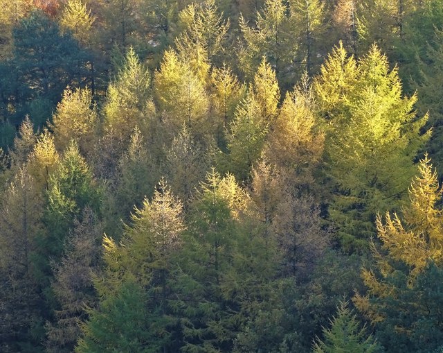
🍂
Seasonal nature
Strong match
Ancient woodland — bluebells, fungi and autumn colour; Plants — Bog Moss, Wood-sorrel, Yarrow +35 more · last seen 2025
Free
🦋
Insect spotting
Strong match
Insects — Rhyacophila dorsalis, Hydropsyche siltalai, Sericostoma personatum +71 more · last seen 2026; Insects — Rhyacophila dorsalis, Hydropsyche siltalai, Sericostoma personatum +71 more · last seen 2026
Free
🐶
Dog walks
Strong match
Dogs allowed — public woodland
Free
🌿
Foraging
Good match
Deciduous woodland — fungi, berries and wild garlic; Plants — Wood-sorrel, Bilberry, Crowberry agg. +3 more foraging species
Varies
Trails nearby
Within roughly 5 km
🚶
Walking
▾
15 signed routes nearby · 12 public paths nearby
Signed route nearbyPublic paths
Limestone WayWalking route74 km▾
Castleton to Rocester
Named routeLength 74 kmPoint-to-pointRegional walking route
Derwent Valley Heritage WayWalking route89 km▾
Named routeLength 89 kmRegional walking route
Derwent Valley and Reservoir Walk,Walking route7.4 km▾
Ladybower Reservoir, farmland and wooded cloughs. Views of Derwent Valley and High Peak area. Rough walking through fields, woodland paths, roads and open moorland. Dogs must be on leads.
Named routeLength 7.4 kmDuration 02:30Round tripLocal walking route
Edale Circular Walk, High PeakWalking route5.4 km▾
Low level circular walk which includes part of the Pennine Way, following streams and stone-flagged paths. Dogs must be kept on leads.
Named routeLength 5.4 kmDuration 02:00Round tripLocal walking route
Crook Hill Circular (Ethel), High PeakWalking route11.5 km▾
Named routeLength 11.5 kmDuration 03:30Round tripLocal walking route
🚴
Cycling
▾
15 signed routes nearby
Signed route nearby
Thornhill TrailCycling route▾
Named routeLocal cycle route
Route 6Cycling route▾
Named routeRef 6National Cycle Network
Main RouteCycling route454 m▾
Named routeRef 6Length 454 mNational Cycle NetworkOn-roadSurface asphalt
Main RouteCycling route119 m▾
Named routeRef 6Length 119 mNational Cycle NetworkOn-roadSurface asphalt
Main RouteCycling route252 m▾
Named routeRef 6Length 252 mNational Cycle NetworkTraffic-freeSurface asphalt
Main RouteCycling route347 m▾
Named routeRef 6Length 347 mNational Cycle NetworkTraffic-freeSurface unsealedfirm
🚵
Mountain biking
▾
1 signed route nearby
Signed route nearby
Great North Trail (Peak District and South Pennines)Mountain bike route130.4 km▾
Named routeLength 130.4 kmNational Cycle Network
🐴
Horse riding
▾
13 public paths nearby
Public paths
No named routes yet. Public paths are shown on the map.