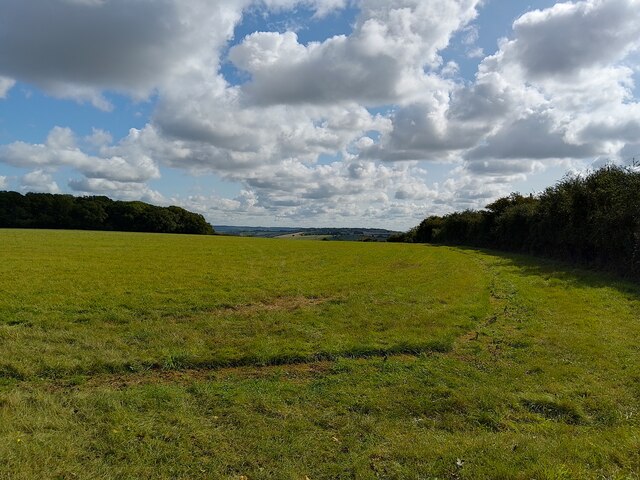
Bowl barrow in the north-west corner of Town Copse 0 ha
🦅 Birds🦉 Wildlife🦋 Insects
↑ Share
Free entry Dogs welcome 0 ha
Places › England › South East › West Berkshire Getting here
51.53060, -1.20680
Open directionsv ✦ Scheduled Ancient Monument — Nationally protected archaeological site on the National Heritage List for England (NHLE). Scheduled monuments represent the best surviving examples of England's irreplaceable archaeological heritage.
Bowl barrow scheduled monument
Visiting this summer
Seasonal nature notes and what to look for now
▾ 🐦 59+ species recorded in this area — summer evenings are best for activity; watch for Skylark and Carrion Crow ✦ Historic character is a year-round quality here — summer brings its own atmosphere to the setting 🐕 Dogs welcome — bring water in summer; the site has enough space to find shade on hot days 🌤️ Visiting this summer
🐦 59+ species recorded in this area — summer evenings are best for activity; watch for Skylark and Carrion Crow ✦ Historic character is a year-round quality here — summer brings its own atmosphere to the setting 🐕 Dogs welcome — bring water in summer; the site has enough space to find shade on hot days £ Free to visit — no entry charge🐕 Dogs welcome🦅 Bird watching
Very strong match
Birds — Skylark, Carrion Crow, Woodpigeon +56 more · last seen 2026; Birds — Skylark, Carrion Crow, Woodpigeon +56 more · last seen 2026
Free
🦉 Wildlife
Very strong match
Multi-group wildlife — Birds, Mammals; Multi-group wildlife — Birds, Mammals
Free
🦋 Insect spotting
Strong match
Insects — Cinnabar, Silver Y, Narrow-bordered Five-spot Burnet +44 more · last seen 2026; Insects — Cinnabar, Silver Y, Narrow-bordered Five-spot Burnet +44 more · last seen 2026
Free
Deciduous woodland — fungi, berries and wild garlic
Varies
Trails nearby Within roughly 5 km 9 signed routes nearby · 5 public paths nearby
Signed route nearby Public paths
The Ridgeway Walking route 140 km ▾
Named route Ref RW Length 140 km National walking route
Show on map The Roman Way Walking route 274.5 km ▾
Named route Length 274.5 km Regional walking route
Show on map European walking route E2 west, UK, South East England Walking route ▾
Westroute: Stranraer (UK) - Birminhgham (UK) - Calais (FR) - Zoersel (BE) / Eastroute: Stranraer (UK) - Harwich (UK) - Rotterdam (NL) - Zoersel (BE) / Both Routes: Zoersel (BE) - Maastrich (NL) - Luxembourg (LUX) - Lake Geneva (CH) - Nice (FR)
Named route Ref E2 International walking route
Show on map West Berkshire Countryside Walk, Goring Gap Walking route 11.2 km ▾
Enjoy this circular spanning Lardon Chase, the Holies & Lough Down. Explore a variety of landscapes, spot rare butterflies & admire views of the Chiltern Hills, North Wessex Downs & Goring Gap. Sections may be challenging for people with reduced mobility.
Named route Length 11.2 km Duration 03:30 Round trip Local walking route
Show on map Accessible Walk, Goring Gap Walking route 1.4 km ▾
Named route Length 1.4 km Duration 00:30 Round trip Local walking route
Show on map 1 signed route nearby
Signed route nearby
Round Berkshire Cycle Route Cycling route ▾
Named route Regional cycle route
Show on map 1 signed route nearby
Signed route nearby
King Alfred's Way Mountain bike route ▾
King Alfreds Way is 350km (220 miles) off road route designed to be ridden clockwise. It starts & ends in Winchester. It is suitable for gravel or cross-country bikes.
Named route Regional cycle route
Show on map 2 public paths nearby
Public paths
The Ridgeway byway open to all traffic · 2.8 km ▾
Public path byway open to all traffic Length 2.8 km Surface compacted Path type: track
Show on map
Weather for this location Next 14 days Nearby places Useful places within 5 km
All Historic
Own or manage this place?
Claim this listing to keep details accurate, add photos, and highlight what makes it special — free.
Claim this page→ How useful was the information on this page?
Something wrong on this page?
id: 87a33f8a-9ac4-4fd1-82b4-42cdb3025795
UK green spaces mapped from open public data — so anyone can find the woodland, trail, or nature reserve closest to them.
© 2026 Glade · Made with care for UK green spaces
Events & activities nearby Switch provider to compare local events, tours and bookable activities.
Bookable tours GetYourGuide Promote here
Wildlife to spot
10,775 records · National Biodiversity Network
▾
Wildlife to spot 10,775 records · National Biodiversity Network 🐦 Birds 49 species
summer autumn winter
2026 ▾
Red-legged Partridge · Skylark · Woodpigeon · Blackbird · Magpie +44
Red-legged Partridge Alectoris rufa Skylark Alauda arvensis2025 Woodpigeon Columba palumbus2025 Blackbird Turdus merula2025 Magpie Pica pica2025 Carrion Crow Corvus corone2025 Kestrel Falco tinnunculus2025 Yellowhammer Emberiza citrinella2025 Corn Bunting Emberiza calandra2025 Robin Erithacus rubecula2025 Linnet Linaria cannabina2025 Chiffchaff Phylloscopus collybita2025 Starling Sturnus vulgaris2025 Black-headed Gull Chroicocephalus ridibundus2025 Chaffinch Fringilla coelebs2025 Wren Troglodytes troglodytes2025 Swallow Hirundo rustica2025 Lapwing Vanellus vanellus2025 Stonechat Saxicola rubicola2025 Meadow Pipit Anthus pratensis2025 Jackdaw Coloeus monedula2025 Tawny Owl Strix aluco2025 Whitethroat Curruca communis2025 Fieldfare Turdus pilaris2025 Grey Wagtail Motacilla cinerea2025 Rook Corvus frugilegus2025 Raven Corvus corax2025 Blue Tit Cyanistes caeruleus2025 Great Tit Parus major2025 Greenfinch Chloris chloris2025 Herring Gull Larus argentatus2025 Dunnock Prunella modularis2025 Grey Heron Ardea cinerea2025 Blackcap Sylvia atricapilla2025 Goldfinch Carduelis carduelis2025 Lesser Whitethroat Curruca curruca2025 Common Gull Larus canus2025 Goldcrest Regulus regulus2025 Pheasant Phasianus colchicus2025 Song Thrush Turdus philomelos2025 Jay Garrulus glandarius2025 Curlew Numenius arquata2025 Long-tailed Tit Aegithalos caudatus2025 Pied Wagtail Motacilla alba yarrellii2025 Swift Apus apus2025 Lesser Black-backed Gull Larus fuscus2025 Stock Dove Columba oenas2025 Mistle Thrush Turdus viscivorus2025 Grey Partridge Perdix perdix2025 Roe Deer · Brown Hare · Rabbit
Roe Deer Capreolus capreolus Brown Hare Lepus europaeus Rabbit Oryctolagus cuniculus Cinnabar · Zygaena lonicerae/trifolii · Common Purple & Gold · Six-spot Burnet · Scathophaga stercoraria +10
Cinnabar Tyria jacobaeae2025 Zygaena lonicerae/trifolii Zygaena lonicerae/trifolii2025 Common Purple & Gold Pyrausta purpuralis2025 Six-spot Burnet Zygaena filipendulae2025 Scathophaga stercoraria Scathophaga stercoraria Juniper Webber Species observations from the last 10 years via NBN Atlas
Dichomeris marginella2025
Dichomeris marginella2025
Common Wainscot Mythimna pallens2025
Common Wainscot Mythimna pallens2025
Straw Dot Rivula sericealis2025
Straw Dot Rivula sericealis2025
Common Grass-veneer Agriphila tristella2025
Common Grass-veneer Agriphila tristella2025
Cloaked Minor Mesoligia furuncula2025
Cloaked Minor Mesoligia furuncula2025
Roseate Marble Celypha rosaceana2025
Roseate Marble Celypha rosaceana2025
Juniper Berry Piercer Pammene juniperana2025
Juniper Berry Piercer Pammene juniperana2025
Humming-bird Hawk-moth Macroglossum stellatarum2025
Humming-bird Hawk-moth Macroglossum stellatarum2025
Narrow-bordered Five-spot Burnet Zygaena lonicerae2025
Narrow-bordered Five-spot Burnet Zygaena lonicerae2025
Speckled Yellow Pseudopanthera macularia2025
Speckled Yellow Pseudopanthera macularia2025