Getting here
52.41632, -1.89695
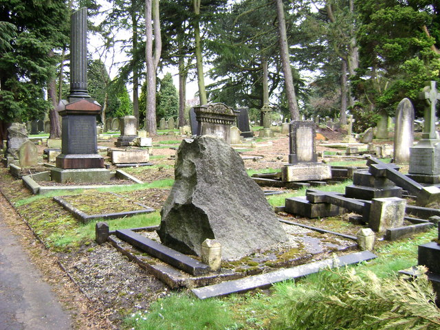
About BRANDWOOD END CEMETERY
Brandwood End Cemetery is a cemetery located in the Brandwood ward of Birmingham, England.
Read more on Wikipedia →Visiting this summer
Seasonal nature notes and what to look for now
Visiting this summer
Seasonal nature notes and what to look for now
- 🌞Midsummer — early morning visits most comfortable; look for deer fawns in quieter clearings
- ✦Historic character is a year-round quality here — summer brings its own atmosphere to the setting
- 🐕Dogs welcome — bring water in summer; the site has enough space to find shade on hot days
🌤️ Visiting this summer
- 🌞Midsummer — early morning visits most comfortable; look for deer fawns in quieter clearings
- ✦Historic character is a year-round quality here — summer brings its own atmosphere to the setting
- 🐕Dogs welcome — bring water in summer; the site has enough space to find shade on hot days
Good to know
- 🐕Dogs welcome
Best for
Wildlife
Very strong match
Multi-group wildlife — Amphibians, Birds, Mammals, Reptiles; Multi-group wildlife — Amphibians, Birds, Mammals, Reptiles
Bird watching
Very strong match
Birds — Shoveler, Yellow-legged Gull, Wigeon +63 more · last seen 2026; Birds — Shoveler, Yellow-legged Gull, Wigeon +63 more · last seen 2026
Insect spotting
Strong match
Insects — 7-spot Ladybird, Swollen-thighed Beetle, Green Shieldbug +50 more · last seen 2026; Insects — 7-spot Ladybird, Swollen-thighed Beetle, Green Shieldbug +50 more · last seen 2026
Heritage
Strong match
Historic site
Seasonal nature
Moderate match
Plants — Raspberry · last seen 2025; Plants — Raspberry · last seen 2025
Trails nearby
Within roughly 5 km🚶Walking
15 signed routes nearby · 22 public paths nearby
Signed route nearbyPublic paths
Walking
Grand Union Canal WalkWalking route234 km
Birmingham to Napton section
Balsall Heath Tree Trail EastWalking route
Balsall Heath Tree Trail WestWalking route
Rail Trail: Olton > ShirleyWalking route12.5 km
An 8-mile longer meander along the banks of the Grand Union Canal and the River Cole, through the heart of Tolkein Country! Duration: 3.5 hours Distance: 8 miles
Rail Trail: Shirley > The LakesWalking route8 km
A 3-mile trail following the towpath along the Stratford-upon-Avon canal, across Christmas tree plantations, farmland and forests to reach Earlswood Lakes. Duration: 3 hours Distance: 5 miles
Tunnel Lanepublic footpath · 350 m
Betton Roadpublic footpath · 37 m
Carriageway Walkpublic footpath · 336 m
🚴Cycling
59 signed routes nearby
Signed route nearby
Cycling
Route 55Cycling route
Birmingham Local Cycle NetworkCycling route
Birmingham Local Cycle Network
National Cycle Network Route 5Cycling route
Cole Valley RouteCycling route
Billesley & Shire Country Park CircularCycling route
Bourn Brook WalkwayCycling route
Wildlife to spot
Photos
Weather for this location
Loading local forecast…
Nearby places
Useful places within 5 km
Own or manage this place?
Claim this listing to keep details accurate, add photos, and highlight what makes it special — free.
Claim this pageHow was your visit?
How useful was the information on this page?
id: dfd00c44-a880-4759-bf9c-3a450b06fd4c