🌞Midsummer — early morning visits most comfortable; look for deer fawns in quieter clearings
🐕Early mornings are best for dog walks in summer — visit before 9am to avoid the heat and find quieter trails
🛝Playground 163m away — built-in entertainment for younger visitors alongside the wider site
🌤️ Visiting this summer
🌞Midsummer — early morning visits most comfortable; look for deer fawns in quieter clearings
🐕Early mornings are best for dog walks in summer — visit before 9am to avoid the heat and find quieter trails
🛝Playground 163m away — built-in entertainment for younger visitors alongside the wider site
Good to know
£Free to visit — no entry charge
🐕Dogs welcome
🅿️Parking🛝Playground
Best for
5 activities
🐶
Dog walks
Strong match
Dogs allowed — public woodland
Free
🎠
Playgrounds
Strong match
playground, parking
Free
🛝
Family friendly
Strong match
playground
Free
🌲
Forest walks
Good match
Public woodland
Free
🦉
Wildlife
Good match
Native broadleaved woodland
Free
Trails nearby
Within roughly 5 km
🚶
Walking
▾
2 signed routes nearby · 19 public paths nearby
Signed route nearbyPublic paths
The RidgewayWalking route140 km▾
Named routeRef RWLength 140 kmNational walking route
The Vale WayWalking route43 km▾
Route through the Vale of White Horse in Oxfordshire, UK. (27 miles).
Named routeLength 43 kmLocal walking route
🚴
Cycling
▾
34 signed routes nearby
Signed route nearby
National Cycle Network Route 5Cycling route▾
Named routeRef 5National Cycle Network
Route 544Cycling route▾
Named routeRef 544National Cycle Network
Wantage to Harwell Campus (Icknield Greenway)Cycling route▾
Named routeRef 1Local cycle route
Didcot to Milton ParkCycling route▾
Named routeRef 6Local cycle route
Didcot to Harwell CampusCycling route▾
Named routeRef 5Local cycle route
Abingdon to Milton ParkCycling route▾
Named routeRef 3Local cycle route
🚵
Mountain biking
▾
1 signed route nearby
Signed route nearby
King Alfred's WayMountain bike route▾
King Alfreds Way is 350km (220 miles) off road route designed to be ridden clockwise. It starts & ends in Winchester. It is suitable for gravel or cross-country bikes.
Named routeRegional cycle route
🐴
Horse riding
▾
16 public paths nearby
Public paths
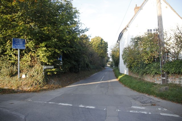
Ford Lanebyway open to all traffic · 47 m▾
Public pathbyway open to all trafficLength 47 mSurface asphaltPath type: residential
Fordy Lanebyway open to all traffic · 19 m▾
Public pathbyway open to all trafficLength 19 mSurface asphaltPath type: bridleway
Fordy Lanebyway open to all traffic · 13 m▾
Public pathbyway open to all trafficLength 13 mSurface asphaltPath type: unclassified
Fordy Lanebyway open to all traffic · 87 m▾
Public pathbyway open to all trafficLength 87 mSurface asphaltPath type: unclassified
Fordy Lanebyway open to all traffic · 11 m▾
Public pathbyway open to all trafficLength 11 mSurface asphaltPath type: unclassified