🌞Midsummer — early morning visits most comfortable; look for deer fawns in quieter clearings
🐕Early mornings are best for dog walks in summer — visit before 9am to avoid the heat and find quieter trails
📍Open access throughout summer — no booking required
🌤️ Visiting this summer
🌞Midsummer — early morning visits most comfortable; look for deer fawns in quieter clearings
🐕Early mornings are best for dog walks in summer — visit before 9am to avoid the heat and find quieter trails
📍Open access throughout summer — no booking required
Good to know
£Free to visit — no entry charge
🐕Dogs welcome
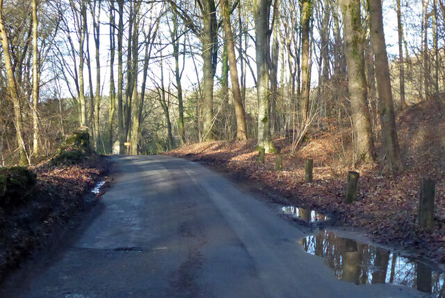
🌿Ancient woodland — rare wildlife habitat
Best for
8 activities
🦉
Wildlife
Strong match
Deciduous woodland priority habitat; Ancient woodland
Free
🦋
Insect spotting
Strong match
Chalk and limestone grassland — chalkhill blue, adonis blue and rare moths
Free
🐶
Dog walks
Strong match
Dogs allowed — public woodland
Free
🍂
Seasonal nature
Strong match
Ancient woodland — bluebells, fungi and autumn colour
Free
🦅
Bird watching
Strong match
Deciduous woodland — woodpeckers, warblers and woodland birds
Free
🌿
Foraging
Good match
Deciduous woodland — fungi, berries and wild garlic
Varies
Trails nearby
Within roughly 5 km
🚶
Walking
▾
5 signed routes nearby · 11 public paths nearby
Signed route nearbyPublic paths
Monarch's WayWalking route990 km▾
approximate route of Charles II's escape
Named routeRef MWLength 990 kmRegional walking route
Macmillan WayWalking route290 km▾
Named routeRef MWALength 290 kmListed length 461Regional walking route
Wysis WayWalking route88.5 km▾
Long distance footpath forming a link between the Thames and the Wye
Named routeRef WYSLength 88.5 kmRegional walking route
Thames PathWalking route296 km▾
Named routeRef TPLength 296 kmNational walking route
Thames & Severn WayWalking route69.8 km▾
Linking the Severn to the Thames following the route of the Stroudwater Navigation and Thames & Severn Canal as closely as possible using public rights of way. As the canals are restored, it will be updated to use the reinstated towpath wherever possible.
Named routeRef T&S WLength 69.8 kmPoint-to-pointRegional walking route
🚴
Cycling
▾
5 signed routes nearby
Signed route nearby
Mercian WayCycling route▾
Named routeRef 45National Cycle Network
National BywayCycling route▾
Named routeRef NBRegional cycle route
Cotswold CyclewayCycling route▾
Named routeRef CCRegional cycle route
Main RouteCycling route9.3 km▾
Named routeRef 45Length 9.3 kmNational Cycle NetworkOn-roadSurface asphalt
Main RouteCycling route4 km▾
Named routeRef 45Length 4 kmNational Cycle NetworkOn-roadSurface asphalt